Trail Walking Ségur-les-Villas - Le sentier du Frau de Vial - Ségur les Villas - Photo

Le sentier du Frau de Vial - Ségur les Villas

 tracegps
tracegps

User

© OpenStreetMap contributors
Length
Length
4.7 km
Max alt
Max alt
1201 m
Uphill gradient
Uphill gradient
97 m
Km-Effort
Km-Effort  
6 km
Min alt
Min alt
1122 m
Downhill gradient
Downhill gradient
94 m
Boucle
Boucle
Yes
Creation date :
2014-12-10 00:00:00.0
Updated on :
2014-12-10 00:00:00.0

(0 Reviews)

Walking
Walking
1h30
Difficulty : Medium

Scan this QR Code to open this trail in the SityTrail application

FREE GPS app for hiking

Logo SityTrail SityTrail

IGN / Geographical institutes

Download SityTrail from the App Store Download SityTrail from Google Play

Logo SityTrail SityTrail World

The world is yours!

Download SityTrail from the App Store Download SityTrail from Google Play Download SityTrail on Huawei AppGallery

About

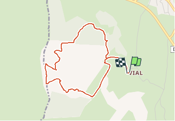
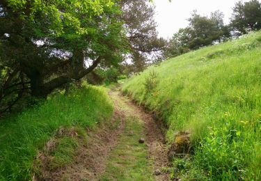
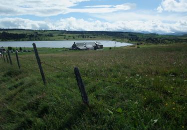
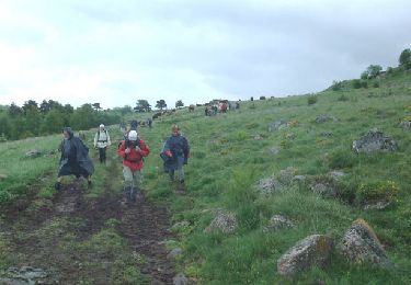
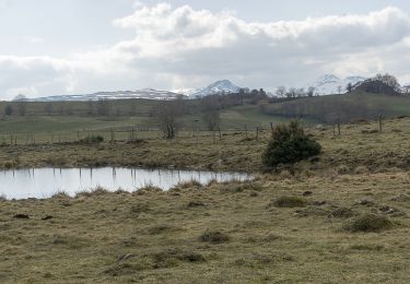
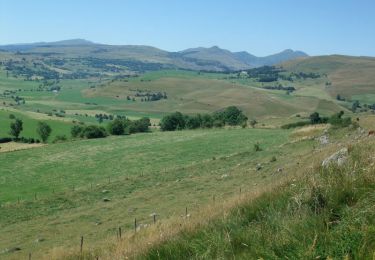
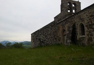
Trail Walking of 4.7 km to be discovered at Auvergne-Rhône-Alpes, Cantal, Ségur-les-Villas. This trail is proposed by tracegps.

Description

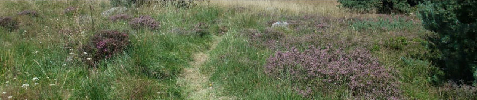
Itinéraire de découverte des paysages et du patrimoine des tourbières dans la région de Ségur les Villas. Une dizaine de panneaux explicatifs sont installés le long du parcours. Un beau chemin pour sensibiliser les petits et les grands au patrimoine écologique.

Elevation profile

Photos

Points of interest

Point of interest Ségur-les-Villas - départ - Photo
tracegps
SÉGUR-LES-VILLAS 

Positioning

Country:
France
Region :
Auvergne-Rhône-Alpes
Department/Province :
Cantal
Municipality :
Ségur-les-Villas
Location:
Unknown
Start:(UTM)
485219 ; 5006921 (31T) N.

Trails nearby

Trail Walking Dienne - Lac de sauvages  - Photo
Walking
GUIDE
antignacs

Walking

Very easy
Dienne, Auvergne-Rhône-Alpes, Cantal, France
5.7 km | 7 km-effort
1h 37min
Yes
Trail Walking Dienne - Lioran 2023-08-15 Tour des lacs Sauvages - Photo
Walking
marionneau

Walking

Easy
Dienne, Auvergne-Rhône-Alpes, Cantal, France
11.1 km | 13.7 km-effort
2h 32min
Yes
Trail Walking Ségur-les-Villas - Cantal - La gazelle - lac Du Jolan - 11km 270m 3h30 - 2019 06 24 - Photo
Walking
Orcal37

Walking

Easy
Ségur-les-Villas, Auvergne-Rhône-Alpes, Cantal, France
11 km | 14.7 km-effort
3h 30min
Yes
Trail Walking Dienne - La pinatelle de Parre - Fortuniès - Photo
Walking
tracegps

Walking

Medium
(1)
Dienne, Auvergne-Rhône-Alpes, Cantal, France
12.6 km | 16 km-effort
3h 30min
Yes
Trail Walking Dienne - De Fortuniès à Chastel sur Murat via le Lac du Pêcher - Photo
Walking
tracegps

Walking

Difficult
Dienne, Auvergne-Rhône-Alpes, Cantal, France
26 km | 33 km-effort
7h 0min
No
Trail Walking Dienne - Rando en boucle sur le plateau de la Pinatelle - Photo
Walking
ilur56

Walking

Easy
Dienne, Auvergne-Rhône-Alpes, Cantal, France
14.8 km | 19 km-effort
3h 7min
Yes
Trail Walking Ségur-les-Villas - La chapelle Valentine - Ségur les Villas - Photo
Walking
tracegps

Walking

Difficult
Ségur-les-Villas, Auvergne-Rhône-Alpes, Cantal, France
19.1 km | 25 km-effort
5h 30min
Yes
Trail Walking Dienne - Lioran 2023-08-15 Lac Sauvages - Photo
Walking
marionneau

Walking

Very easy
Dienne, Auvergne-Rhône-Alpes, Cantal, France
6.5 km | 8.1 km-effort
1h 50min
Yes
Trail Walking Dienne - Cantal 2015 Fortuniès bois de Pinatelle - Photo
Walking
neleda

Walking

Easy
Dienne, Auvergne-Rhône-Alpes, Cantal, France
15.4 km | 19.1 km-effort
4h 20min
Yes


Close
My subscriptions