


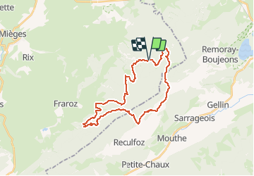

18.4 km | 24 km-effort

User


FREE GPS app for hiking
 SityTrail
IGN / Geographical institutes
SityTrail World
The world is yours!
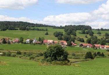
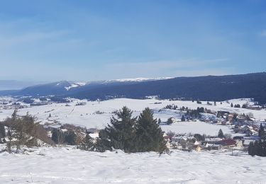
Trail Mountain bike of 28 km to be discovered at Bourgogne-Franche-Comté, Jura, Mignovillard. This trail is proposed by tracegps.
Circuit de 30 km dans le massif de la Haute Joux, à cheval sur le département du Doubs et du Jura. Pur VTT

Walking
Walking
On foot
Walking
Snowshoes
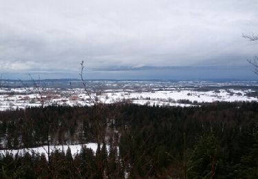
Snowshoes
Snowshoes
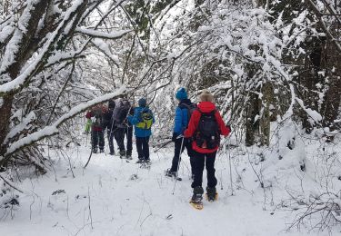
Snowshoes
Walking