


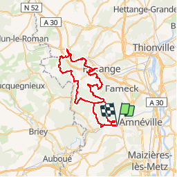


29 km | 38 km-effort


User


FREE GPS app for hiking
 SityTrail
IGN / Geographical institutes
SityTrail World
The world is yours!
Trail Mountain bike of 54 km to be discovered at Grand Est, Moselle, Rombas. This trail is proposed by tracegps.
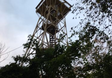
Grande sortie entre les vallées de l’Orne, de la Fensh et du Conroy, parsemée de montées techniques et de singles avec en prime de beaux panoramas sur les vallées et leur villes ainsi que les vestiges de la sidérurgie.


Mountain bike

On foot

Walking
Walking

Walking
Walking
On foot

On foot
Other activity