


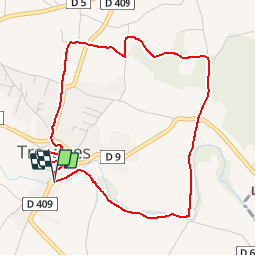

14.7 km | 19.4 km-effort


User


FREE GPS app for hiking
 SityTrail
IGN / Geographical institutes
SityTrail World
The world is yours!
Trail Walking of 4.9 km to be discovered at Occitania, Gard, Tresques. This trail is proposed by tracegps.
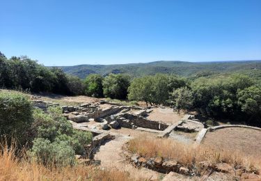
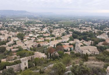
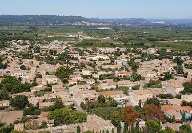
Située non loin de Bagnols-sur-Ceze, Tresques est une commune essentiellement agricole, tournée plus particulièrement vers la viticulture. Les sites archéologiques sont nombreux qui datent de la préhistoire ou de l'antiquité. (source Le Gard Provençal)

Walking
Walking
Walking
Walking
Walking
Walking

Walking
Walking
parfait pour l'hiver!