


Port Argelès - 4.6km 30m 1h30 - 2018 09 05

Orcal37
User GUIDE
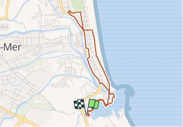

Length
4.6 km

Max alt
8 m

Uphill gradient
24 m
Km-Effort
4.9 km

Min alt
-1 m

Downhill gradient
24 m
Boucle
Yes
Creation date :
2019-01-15 16:27:19.966
Updated on :
2020-01-30 19:16:31.171
1h30
Difficulty : Very easy

FREE GPS app for hiking
 SityTrail
IGN / Geographical institutes
SityTrail Plus
The world is yours!
About
Trail Walking of 4.6 km to be discovered at Occitania, Pyrénées-Orientales, Argelès-sur-Mer. This trail is proposed by Orcal37.
Description
Port Argelès - 4.6km 30m 1h30 - 2018 09 05
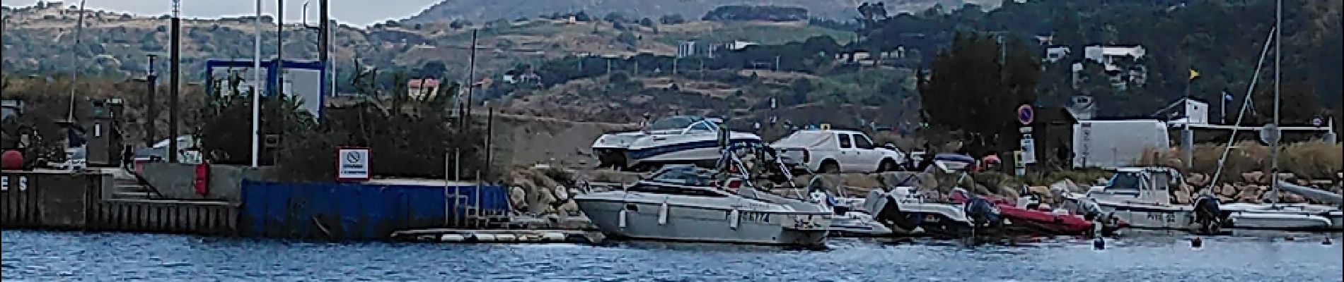
Photos


Positioning
Country:
France
Region :
Occitania
Department/Province :
Pyrénées-Orientales
Municipality :
Argelès-sur-Mer
Location:
Unknown
Start:(Dec)
Start:(UTM)
503885 ; 4709783 (31T) N.
Comments