


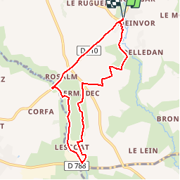

14.9 km | 17.2 km-effort


User


FREE GPS app for hiking
 SityTrail
IGN / Geographical institutes
SityTrail World
The world is yours!
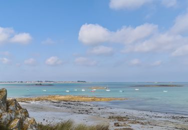
Trail Running of 7.4 km to be discovered at Brittany, Finistère, Plouider. This trail is proposed by tracegps.
Depuis Pont du Châtel, on remonte sur les hauteurs de la Flèche rive gauche puis on bascule vers la rivière du Quilimadec la longeant au travers de prairies pouvant être très humides en hiver, puis retour vers Pont du Châtel le long de la départementale Treflez – Lesneven.
Nordic walking

On foot
Bicycle tourism
Walking

Walking
Walking
Walking

On foot