


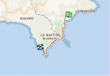

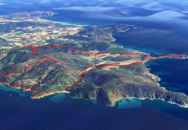
15.2 km | 20 km-effort

User


FREE GPS app for hiking
 SityTrail
IGN / Geographical institutes
SityTrail World
The world is yours!
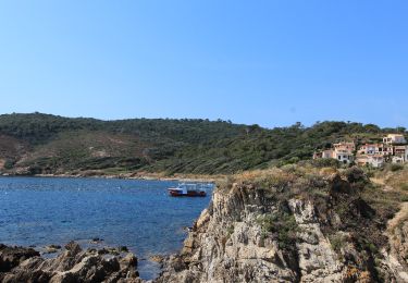
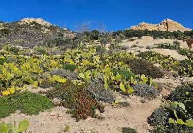
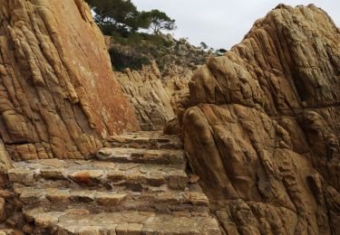
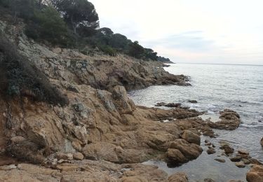
Trail Walking of 4.7 km to be discovered at Provence-Alpes-Côte d'Azur, Var, Ramatuelle. This trail is proposed by tracegps.
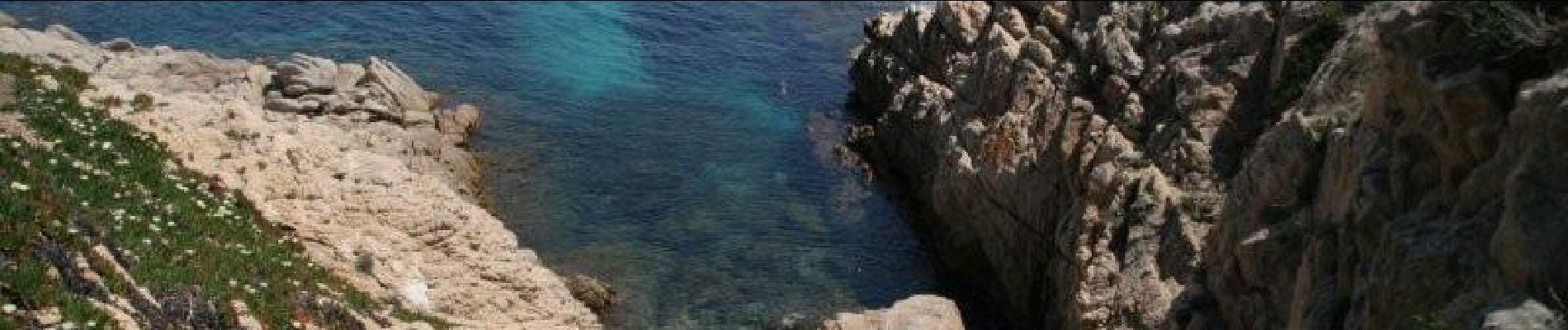
Belle rando au bord de la grande bleue. Au départ de la plage de l'Escalet.


On foot
Electric bike
Electric bike
Walking

Mountain bike

Walking
Walking
Walking
Walking