


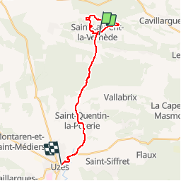

11.9 km | 14.2 km-effort

User


FREE GPS app for hiking
 SityTrail
IGN / Geographical institutes
SityTrail World
The world is yours!
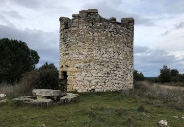
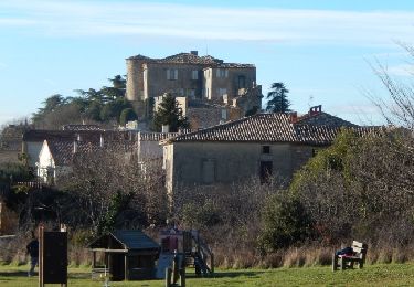
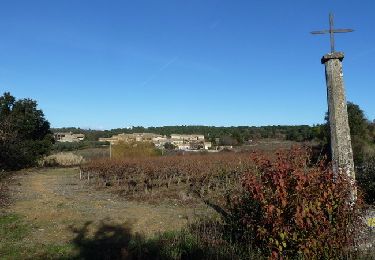
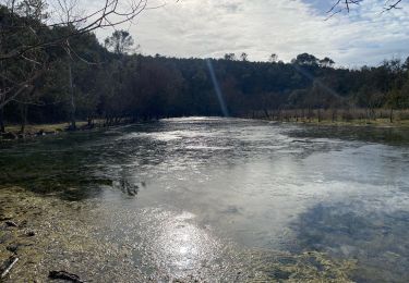
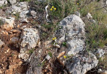
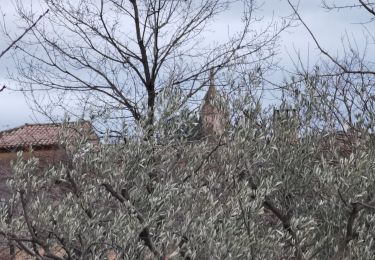
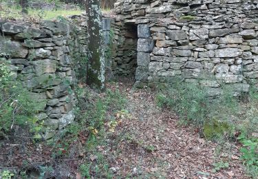
Trail Other activity of 21 km to be discovered at Occitania, Gard, Saint-Laurent-la-Vernède. This trail is proposed by cpiton.
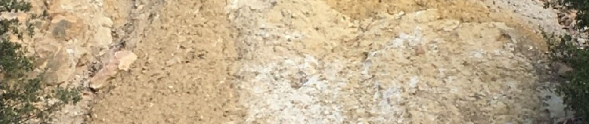
Sentier des ocres


Walking

Mountain bike
Walking

Mountain bike
Walking
Walking
Walking
Walking