


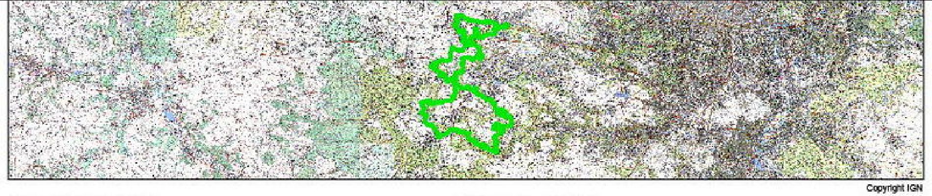
12.7 km | 15.4 km-effort

User


FREE GPS app for hiking
 SityTrail
IGN / Geographical institutes
SityTrail World
The world is yours!
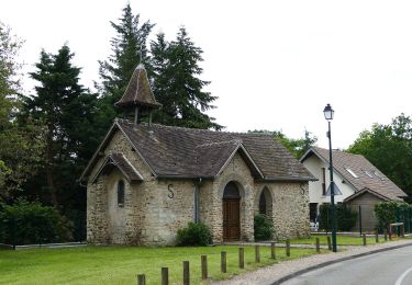
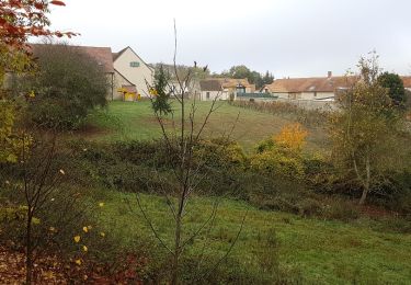
Trail Mountain bike of 97 km to be discovered at Ile-de-France, Yvelines, Plaisir. This trail is proposed by tracegps.
Randonnée organisée par l'A.C.T Plaisir, cette année nouveau parcours de 98km et un dénivelé positif de près de 2000m. Cette randonnée alterne entre les singles tracks, les montées quelques fois à pied des Vaux de Cernay et les parties roulantes surtout au milieu du parcours pour récupérer un peu. Après Saint Rémy l'Honoré les choses se compliquent un peu, il reste 25km et 7 belles bosses.


Walking

Walking

Walking
Walking
Other activity
Walking
Walking
Walking