


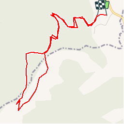

11.9 km | 20 km-effort

User


FREE GPS app for hiking
 SityTrail
IGN / Geographical institutes
SityTrail World
The world is yours!
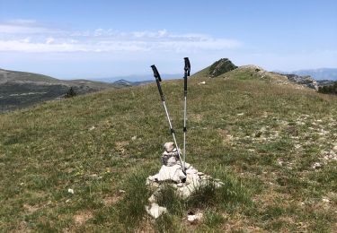
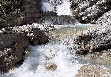
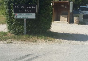
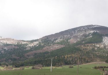
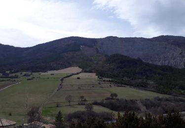
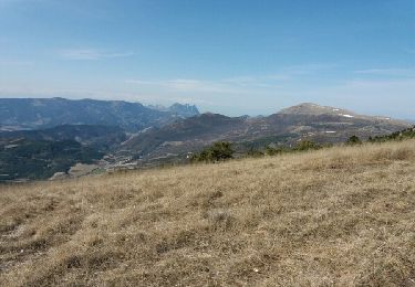
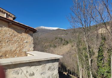
Trail Walking of 5.9 km to be discovered at Auvergne-Rhône-Alpes, Drôme, Jonchères. This trail is proposed by tracegps.
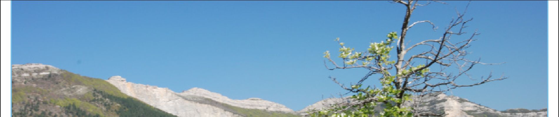
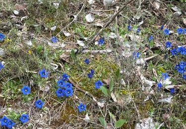
Une promenade tranquille qui permet de profiter d'un beau panorama. Au printemps le sol est couvert de Gentianes.


sport
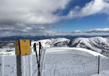
Snowshoes
Walking
Walking
Walking
Walking
Walking
Walking
Walking