


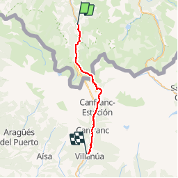

16.9 km | 30 km-effort

User


FREE GPS app for hiking
 SityTrail
IGN / Geographical institutes
SityTrail World
The world is yours!
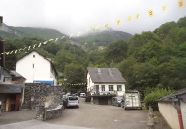
Trail Walking of 28 km to be discovered at New Aquitaine, Pyrénées-Atlantiques, Urdos. This trail is proposed by tracegps.
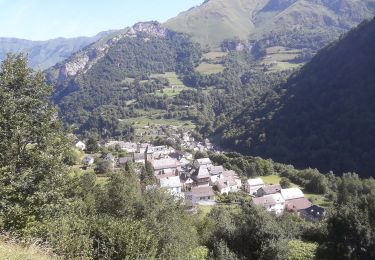
Troisième étape. Après le Somport, on quitte la végétation abondante du versant français des Pyrénées pour pénétrer dans les paysages arides du versant espagnol. (source Chemin d'Arles)
 - Photo 1")
Snowshoes

Walking

Walking
On foot
On foot
On foot
On foot
On foot
On foot