


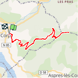

10.6 km | 24 km-effort

User


FREE GPS app for hiking
 SityTrail
IGN / Geographical institutes
SityTrail World
The world is yours!
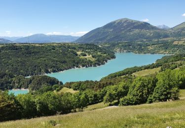
Trail Walking of 12.2 km to be discovered at Auvergne-Rhône-Alpes, Isère, Corps. This trail is proposed by tracegps.
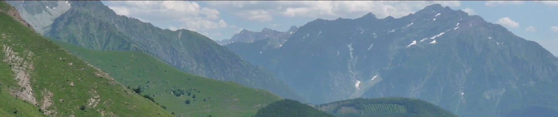
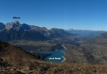
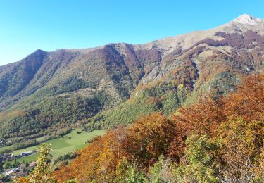
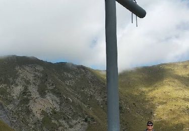
Et c'est parti pour une montée continue depuis le village de Corps jusqu'au sommet du Grand Journal d'où l'on a une superbe vue panoramique sur le lac du Sautet et sur une partie des montagne du Parc National des Écrins. Suivre le balisage jaune, le sentier s'élève en sous bois puis dans les estives pour finir sur les crêtes.


Walking
Walking
Walking
Walking
Touring skiing
Touring skiing
Walking
Walking
Touring skiing