


14 km | 25 km-effort

User


FREE GPS app for hiking
 SityTrail
IGN / Geographical institutes
SityTrail World
The world is yours!
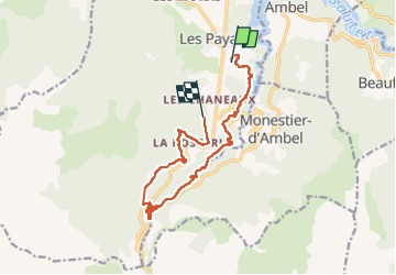
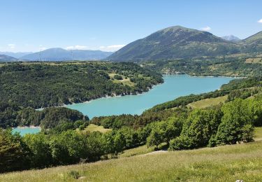
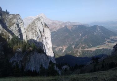
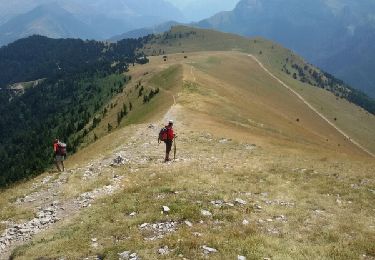
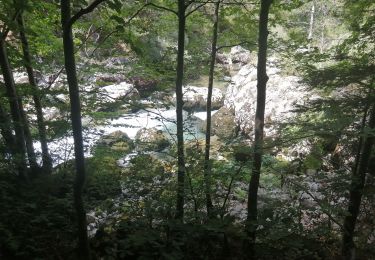
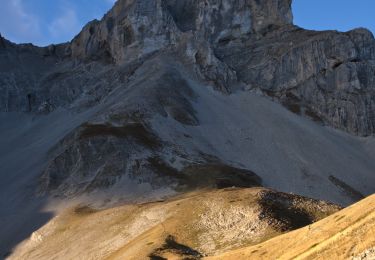
Trail Walking of 13.3 km to be discovered at Auvergne-Rhône-Alpes, Isère, Pellafol. This trail is proposed by himba26100.
azur.16.06.2022


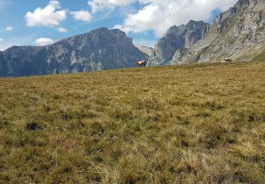
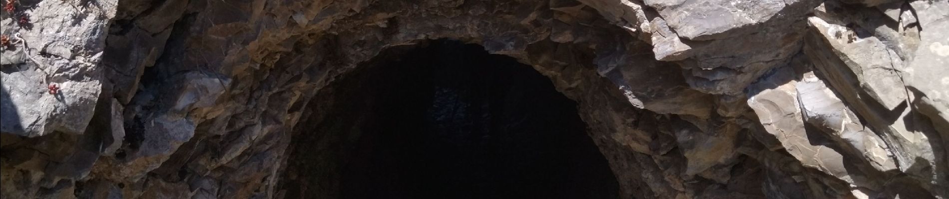
Walking

Walking
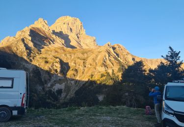
Walking
Walking
Walking
Walking
Walking
Walking
On foot