


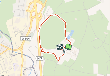

8.1 km | 10.4 km-effort

User


FREE GPS app for hiking
 SityTrail
IGN / Geographical institutes
SityTrail World
The world is yours!
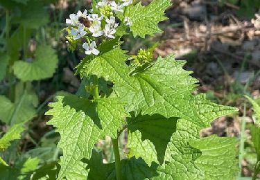
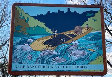
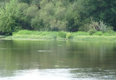
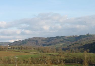
Trail Walking of 3.1 km to be discovered at Auvergne-Rhône-Alpes, Loire, Perreux. This trail is proposed by tracegps.
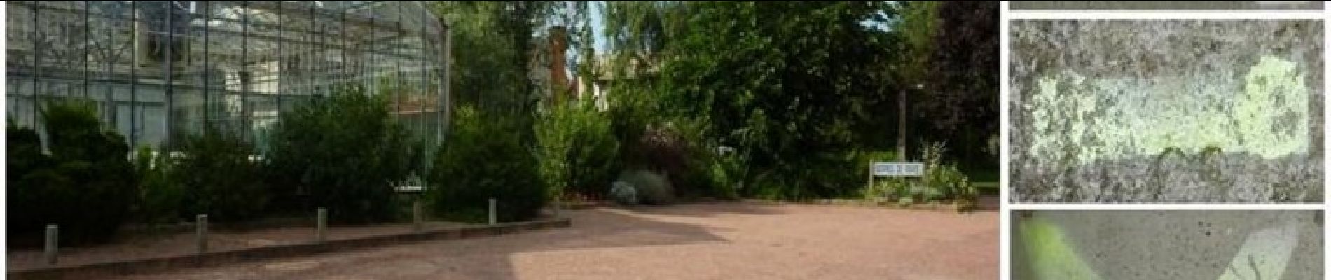
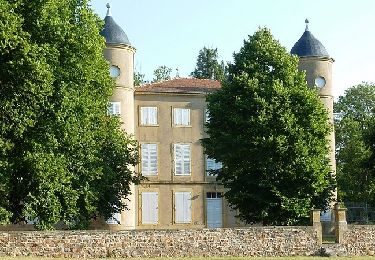
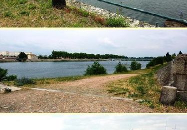
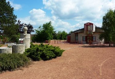
Lycée Agricole de Roanne-Chervé 42120 LE COTEAU Chervé dépend de la commune du Coteau. IGN : 2830 O Le Lycée Agricole de Roanne-Chervé est très étendu. Il dispose d’un potentiel d’accueil important (gymnase, amphithéâtre, équipements sportifs), les bâtiments dispersés, l’exploitation attenante entièrement rénovée, les serres horticoles, son château et le parc donne à ce lieu l’impression d’être dans un village. Il dispose également d’un internat agréable et fonctionnel. Tout proche, visitez le village de Perreux qui est un joli bourg médiéval, perché sur un éperon et qui mérite bien le détour...


Walking
Mountain bike

Mountain bike
Walking
On foot
Mountain bike
Mountain bike
Mountain bike
Mountain bike