


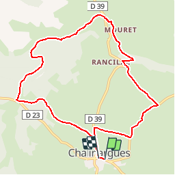


13.9 km | 18.4 km-effort


User


FREE GPS app for hiking
 SityTrail
IGN / Geographical institutes
SityTrail World
The world is yours!
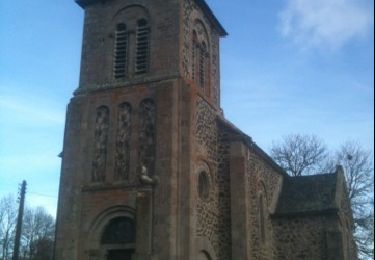
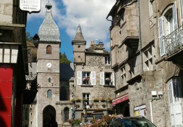
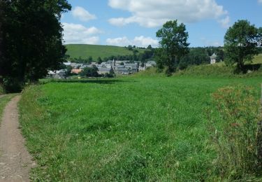
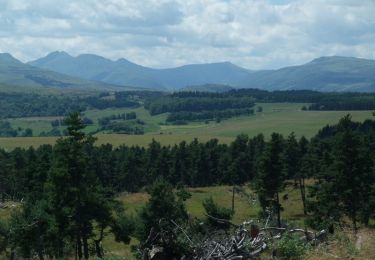
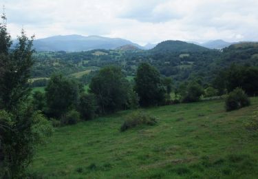
Trail Walking of 10.5 km to be discovered at Auvergne-Rhône-Alpes, Cantal, Neussargues en Pinatelle. This trail is proposed by tracegps.
Départ depuis le « couderc » de Chalinargues. Parcours plat ou presque. Chemins larges, empierrés ou herbeux. A faire en famille sans problème.
Walking

Horseback riding
Walking
Walking
Walking
Walking
Walking
Walking
Walking