


3.6 km | 5.2 km-effort

User


FREE GPS app for hiking
 SityTrail
IGN / Geographical institutes
SityTrail World
The world is yours!
Trail Mountain bike of 19.8 km to be discovered at Grand Est, Haut-Rhin, Soultz-Haut-Rhin. This trail is proposed by tracegps.
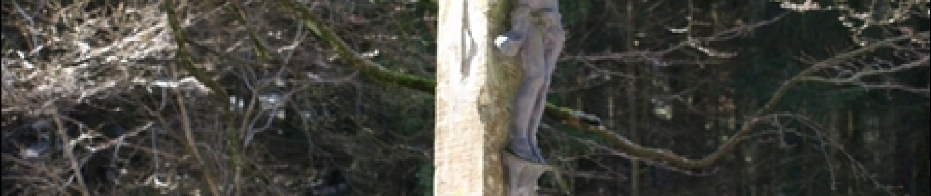
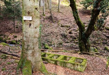
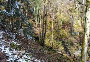
Espace VTT - FFC Région de Guebwiller - n°14 - Circuit du Kohlschlag Circuit officiel labellisé par la Fédération Française de Cyclisme. Après avoir traversé le vignoble de Wuenheim, admiré la croix Zimmermann, vous arriverez à la ferme auberge du Kohlschlag, tout près du col Amic. De celle-ci, par de magnifiques forêts, retour au point de départ par le parcours sportif et la rue Principale de Wuenheim. La croix Zimmermann, dont on ne connaît pas exactement la date de mise en place, rappelle un drame survenu à cet endroit en 1865. En effet, cette année là, plus précisément le 25 décembre, un jeune wuenheimois, Joseph Zimmermann, devait y décéder, écrasé par son char à bœuf chargé de bois, destiné aux boulangers de la commune de Soultz. Topo guide VTT en vente à l’Office du Tourisme de Guebwiller-Soultz et les Pays du Florival - Antenne de Guebwiller - 71 Rue de la République - 68500 – Guebwiller Tel. : 03 89 76 10 63 - Fax :03 89 76 52 72 Crédit photos ; ©Pays d’Art et d’Histoire de la Région de Guebwiller


Walking

Mountain bike

Walking

Walking

Walking
Walking
Walking
Walking
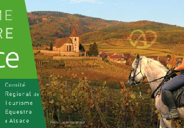
Horseback riding