


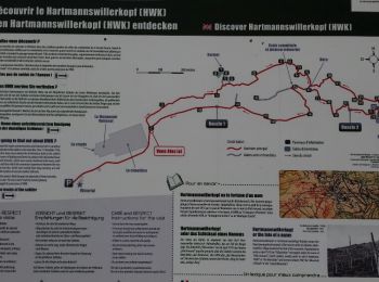
16.8 km | 27 km-effort
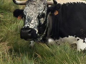
Haut-Rhin: Discover the best trails: 6,188 hiking trails, 1,045 bike and mountain-bike routes and 313 equestrian circuits. All these trails, routes and outdoor activities are available in our SityTrail applications for smartphones and tablets.
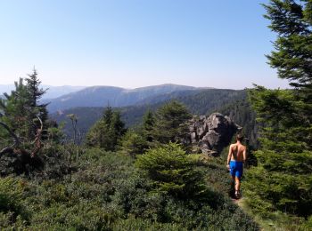
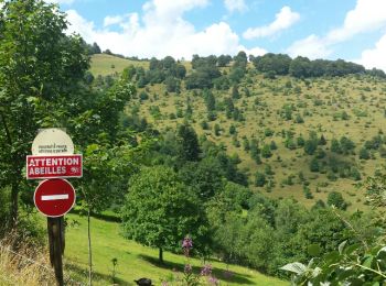
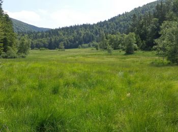
Walking


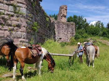
Horseback riding
Horseback riding
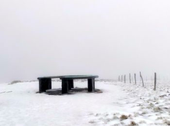
Walking
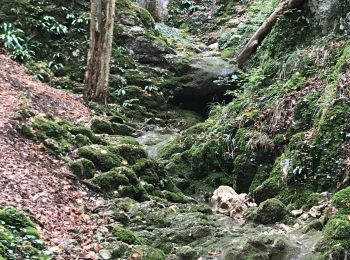
Walking
Walking
Walking
Walking
Walking
Other activity
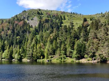
• Tour des 4 lacs par le bas et retour par les chaumes
Walking
• Faite le 14/08/2016 avec notre fils de 11 ans. D'après : Guide Frank Vosges - N°10 Tour du Petit Ballon. La durée ind...
Walking
• Faite le 14/07/2015 avec notre fils de 10 ans. Enregistrement partiel. D'après : Guide Frank Vosges - N°38 Col du Bra...
Walking
• Faite le 17/05/2015 avec notre fils de 10 ans. Nous l'avons ensuite couplée avec un second tour en empruntant l'annea...

Walking
• Faite le 17/05/2015 avec notre fils de 10 ans. Bonnes chaussures nécessaires.
Walking
• Faite le 22/03/2015 avec notre fils de 10 ans. D'après : GUIDE ROTHER ALSACE - N°32 D'Ammerschwihr aux Trois Epis. La...
Walking
Walking
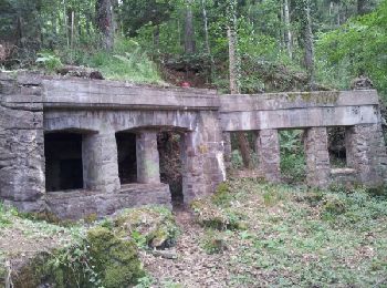
• Faite le 15/06/2014 avec notre fils de 9 ans. Circuit historique 1914-18 Hohrodberg - Linge. Le circuit réalisé est l...
Walking
• Faite le 13/04/2014 avec notre fils de 9 ans. D'après l'excellent ouvrage : Mes balades préférées dans les Vosges N°2...
Walking
Walking
20 trails displayed on 8024
FREE GPS app for hiking
 SityTrail
IGN / Geographical institutes
SityTrail World
The world is yours!