


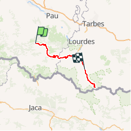

12.7 km | 17.3 km-effort

User


FREE GPS app for hiking
 SityTrail
IGN / Geographical institutes
SityTrail World
The world is yours!
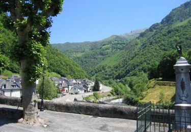
Trail Cycle of 138 km to be discovered at New Aquitaine, Pyrénées-Atlantiques, Escot. This trail is proposed by tracegps.
Etape 3/8 de la transpyrénéenne comportant une ascension supplémentaire en aller/retour vers le cirque de Troumouse.

On foot

Walking

On foot

Walking
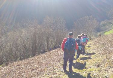
Walking

Trail

Walking
Walking

On foot