


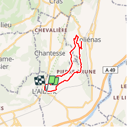

11.5 km | 17.6 km-effort


User


FREE GPS app for hiking
 SityTrail
IGN / Geographical institutes
SityTrail World
The world is yours!
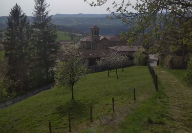
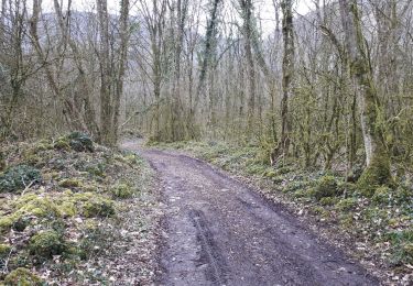
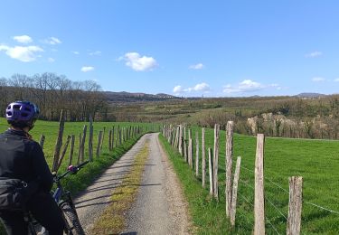
Trail Mountain bike of 10.5 km to be discovered at Auvergne-Rhône-Alpes, Isère, L'Albenc. This trail is proposed by popo38.
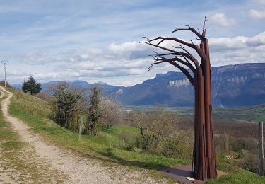
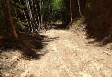
petite balade en vtt dans les sous-bois..des arbres en travers m'ont empêcher de continuer la boucle..dommage..


Walking
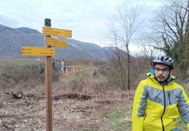
Mountain bike
Walking
Walking
Walking
Walking
Walking
Walking
Mountain bike