Trail Walking Aydat - Rouillas-Haut - Lac Servière - Photo

Rouillas-Haut - Lac Servière

 tracegps
tracegps

User

© OpenStreetMap contributors
Length
Length
21 km
Max alt
Max alt
1213 m
Uphill gradient
Uphill gradient
587 m
Km-Effort
Km-Effort  
27 km
Min alt
Min alt
853 m
Downhill gradient
Downhill gradient
232 m
Boucle
Boucle
No
Creation date :
2014-12-10 00:00:00.0
Updated on :
2014-12-10 00:00:00.0

(0 Reviews)

Walking
Walking
6h00
Difficulty : Medium

Scan this QR Code to open this trail in the SityTrail application

FREE GPS app for hiking

Logo SityTrail SityTrail

IGN / Geographical institutes

Download SityTrail from the App Store Download SityTrail from Google Play

Logo SityTrail SityTrail World

The world is yours!

Download SityTrail from the App Store Download SityTrail from Google Play Download SityTrail on Huawei AppGallery

About

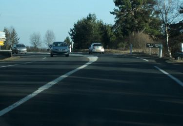
Trail Walking of 21 km to be discovered at Auvergne-Rhône-Alpes, Puy-de-Dôme, Aydat. This trail is proposed by tracegps.

Description

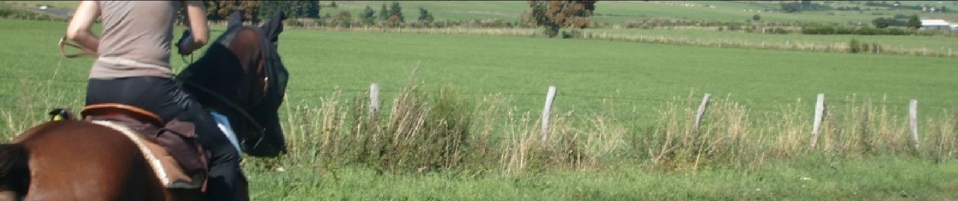
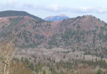
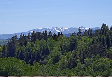
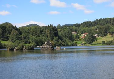
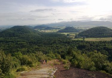
Fontaine dispo dans tous les villages traversés. Vue magnifique de Pessade et de la Garandie sur la chaine des Puys. Lac Servière très fréquenté en période estival. Attention! Pas possible de faire le tour du Lac Servière à cheval, une partie est accessible uniquement par des échelles car il y a un pré avec des vaches et une autre est constituée de pontons pour protéger les tourbières.

Elevation profile

Photos

Positioning

Country:
France
Region :
Auvergne-Rhône-Alpes
Department/Province :
Puy-de-Dôme
Municipality :
Aydat
Location:
Unknown
Start:(UTM)
501240 ; 5057963 (31T) N.

Trails nearby

Trail Walking Aydat - LacAydatVeyreras_T - Photo
Walking
force

Walking

Very easy
(1)
Aydat, Auvergne-Rhône-Alpes, Puy-de-Dôme, France
11.1 km | 14.2 km-effort
3h 6min
Yes
Trail Walking Aydat - puy de Vichatel - Photo
Walking
bernardeau

Walking

Very easy
(1)
Aydat, Auvergne-Rhône-Alpes, Puy-de-Dôme, France
3.8 km | 5.8 km-effort
1h 13min
Yes
Trail On foot Saint-Saturnin - Randol - Photo
On foot
PRO

On foot

Easy
(1)
Saint-Saturnin, Auvergne-Rhône-Alpes, Puy-de-Dôme, France
7.8 km | 10.6 km-effort
2h 24min
Yes
Trail On foot Aydat - Les Cheires Hautes - Photo
On foot
PRO

On foot

Easy
Aydat, Auvergne-Rhône-Alpes, Puy-de-Dôme, France
15.9 km | 20 km-effort
4h 32min
Yes
Trail On foot Aydat - Le Lac de la Cassière - Photo
On foot
PRO

On foot

Easy
Aydat, Auvergne-Rhône-Alpes, Puy-de-Dôme, France
3.2 km | 4 km-effort
54min
Yes
Trail On foot Saint-Genès-Champanelle - Nadaillat - Photo
On foot
PRO

On foot

Easy
Saint-Genès-Champanelle, Auvergne-Rhône-Alpes, Puy-de-Dôme, France
6.6 km | 9.3 km-effort
2h 7min
Yes
Trail On foot Aydat - Le Puy de Vichatel - Photo
On foot
PRO

On foot

Easy
Aydat, Auvergne-Rhône-Alpes, Puy-de-Dôme, France
8.1 km | 10.5 km-effort
2h 22min
Yes
Trail Walking Ceyrat - Les trois moulins - Ceyrat - Photo
Walking
tracegps

Walking

Difficult
(1)
Ceyrat, Auvergne-Rhône-Alpes, Puy-de-Dôme, France
21 km | 28 km-effort
6h 0min
Yes
Trail Walking Aydat - Fohet_Landes - Photo
Walking
GUIDE
jagarnier

Walking

Medium
(1)
Aydat, Auvergne-Rhône-Alpes, Puy-de-Dôme, France
13.1 km | 16.8 km-effort
4h 0min
Yes


Close
My subscriptions