


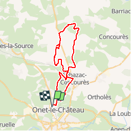


15.7 km | 24 km-effort


User


FREE GPS app for hiking
 SityTrail
IGN / Geographical institutes
SityTrail World
The world is yours!
Trail Mountain bike of 30 km to be discovered at Occitania, Aveyron, Onet-le-Château. This trail is proposed by tracegps.
Petit parcours pour s'entretenir, sans difficulté majeure. A voir le Tindoul de la Vayssiere, un aven naturel. Bonne balade .


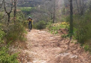
Mountain bike
Mountain bike
Mountain bike

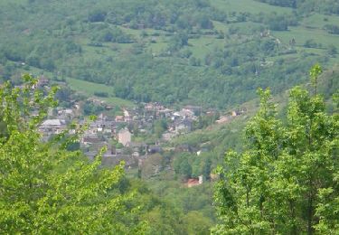
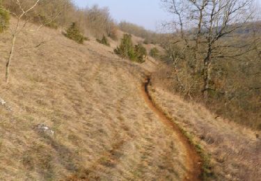
On foot
On foot
On foot
On foot

On foot
On foot