


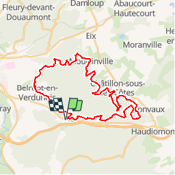

9.7 km | 11 km-effort


User


FREE GPS app for hiking
 SityTrail
IGN / Geographical institutes
SityTrail World
The world is yours!
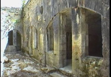
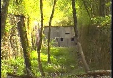
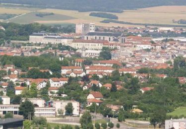
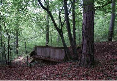
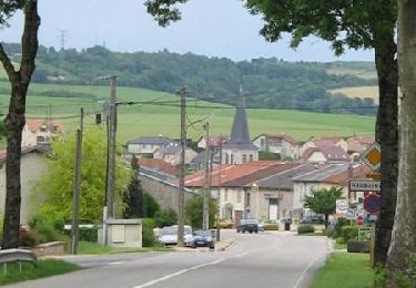
Trail Mountain bike of 35 km to be discovered at Grand Est, Meuse, Sommedieue. This trail is proposed by tracegps.
Circuit officiel proposé par l’ Office de Tourisme du Val de Meuse et labellisé par la Fédération Française de Cyclisme dans l’Espace VTT FFC Verdun le Rozelier. Pour d’autres renseignements voir le Club VTT Saint Symphorien, les Loups de Belrupt. Départ de l’aérodrome de Verdun – Le Rozelier.


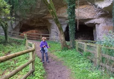
Walking
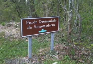
Walking
Mountain bike

Walking
Mountain bike
Walking
Mountain bike

Walking
Mountain bike
parcours accessible aux débutants, roulant, agréable.Manque un peut de technique.attention zone Belrupt =Hard3h30 pour vttiste confirmé