


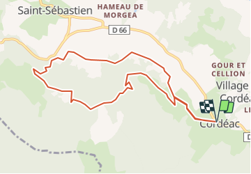

10.3 km | 24 km-effort


User


FREE GPS app for hiking
 SityTrail
IGN / Geographical institutes
SityTrail World
The world is yours!
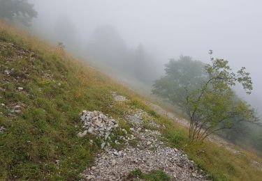
Trail Mountain bike of 10.2 km to be discovered at Auvergne-Rhône-Alpes, Isère, Châtel-en-Trièves. This trail is proposed by tracegps.
Circuit n°7 (bleu) de la base VTT FFCT du Trièves. Une petite boucle sans prétention pour prendre contact avec le terrain et qui offre son lot d'efforts et de paysages. Pour les téméraires, vous pourrez vous faire plaisir dans la descente pour rejoindre "Les Caravelles".
Walking
Walking
Walking
Walking
Walking

Walking
Walking
Walking
Walking