


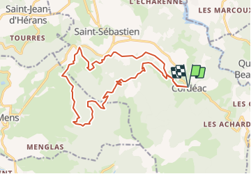

10.3 km | 24 km-effort


User


FREE GPS app for hiking
 SityTrail
IGN / Geographical institutes
SityTrail World
The world is yours!
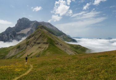
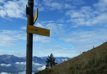
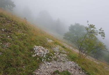
Trail Running of 19 km to be discovered at Auvergne-Rhône-Alpes, Isère, Châtel-en-Trièves. This trail is proposed by tracegps.
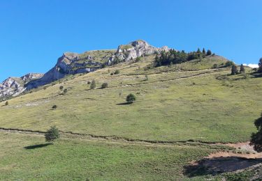
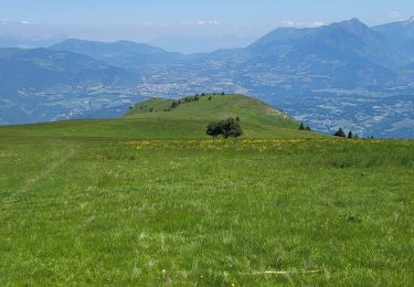
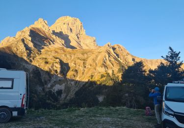
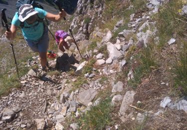
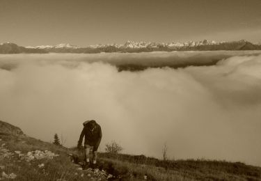
Circuit n°8 (noir) de la base VTT FFCT du Trièves. Un tour sportif sur les pentes du Châtel, pour faire le point sur sa condition physique ... Si on survit à la première partie, le reste est un itinéraire parsemé de beaux points de vue. Les efforts sont vite récompensés par de belles descentes techniques en single track.
Walking
Walking
Walking
Walking
Walking

Walking
Walking
Walking
Walking