


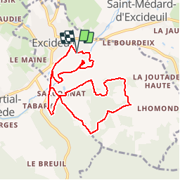


10.2 km | 14 km-effort

User


FREE GPS app for hiking
 SityTrail
IGN / Geographical institutes
SityTrail World
The world is yours!
Trail Walking of 9.4 km to be discovered at New Aquitaine, Dordogne, Excideuil. This trail is proposed by tracegps.
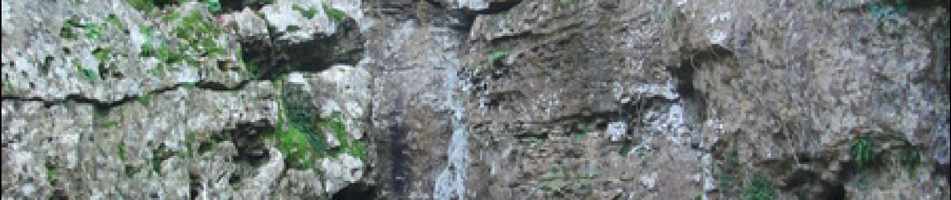
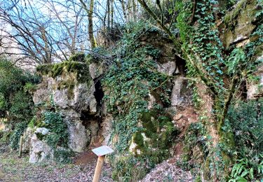
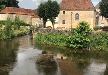
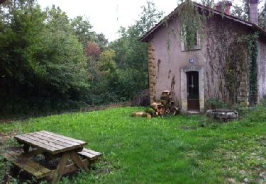
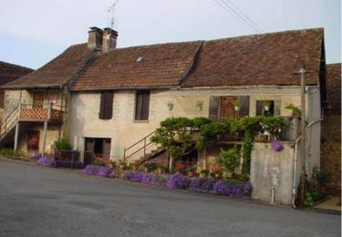
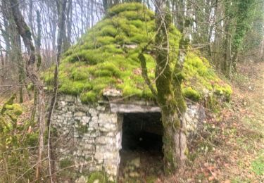
Au cours de cette superbe randonnée vous allez découvrir, la passerelle sur la Loue, les pattes d’Ours, les grottes de Sarconnat, les sources, résurgences, falaises d’escalade, la grotte de l'église, cabanes de pierres sèches, dolines et la vallée sèche. On peut également y voir le Bélier Hydraulique, le Moulin de la Baysse et une variété extraordinaire de faune et de flore. Sur ce sentier près de 400 espèces diverses de fleurs et plantes ont été reconnues et classifiées. Certaines variétés sont très rares et en voie de disparition. On a également recensé 19 variétés d’orchidées sauvages. Bonne rando.


Walking
Walking
Walking
Walking
Walking
Mountain bike

Walking
Walking

Walking