


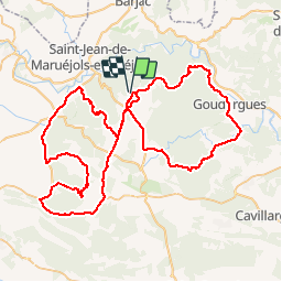

26 km | 0 m-effort


User


FREE GPS app for hiking
 SityTrail
IGN / Geographical institutes
SityTrail World
The world is yours!
Trail Cycle of 100 km to be discovered at Occitania, Gard, Méjannes-le-Clap. This trail is proposed by tracegps.
Tour autour de Méjannes le Clap avec notamment l'ascension du Mont Bouquet.

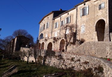
Walking
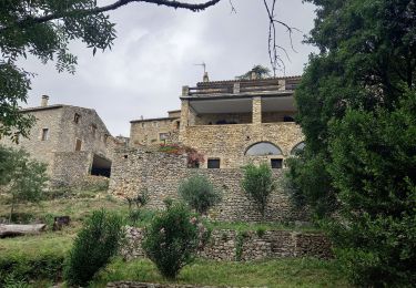
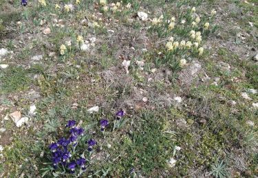
Walking

Walking

Walking

Walking

Walking

Walking
Walking