


18.8 km | 27 km-effort

User


FREE GPS app for hiking
 SityTrail
IGN / Geographical institutes
SityTrail World
The world is yours!
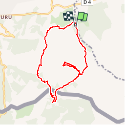
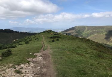
Trail Walking of 8.6 km to be discovered at New Aquitaine, Pyrénées-Atlantiques, Urrugne. This trail is proposed by tracegps.
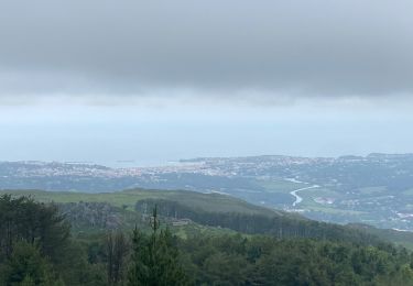
Rando sur bon sentier bien tracé. Les moins sportifs pourront éviter la montée au sommet de la montagne de Ciboure et aller se restaurer dans les ventas Zahar ou Inzola.


Walking

Walking

Walking

Mountain bike
Walking
Walking
Mountain bike

sport
Walking
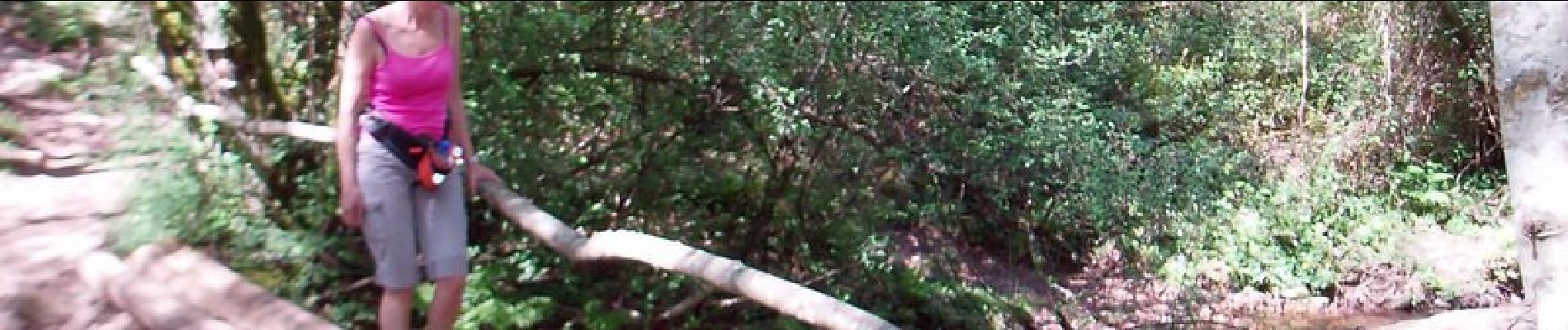
Très belle balade !