


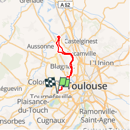

259 km | 281 km-effort


User


FREE GPS app for hiking
 SityTrail
IGN / Geographical institutes
SityTrail World
The world is yours!
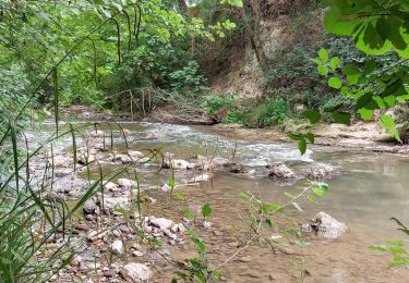
Trail Mountain bike of 40 km to be discovered at Occitania, Haute-Garonne, Tournefeuille. This trail is proposed by tracegps.
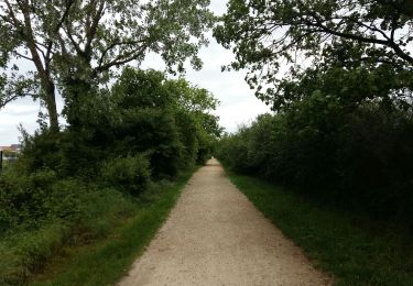
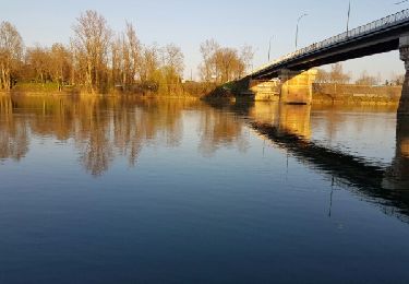
Rando VTT au bord du Touch (coulée verte) puis en bord de Garonne jusqu'à Gagnac sur Garonne. Aller sur rive Gauche - Retour sur rive droite.

Cycle
Walking
Walking
Cycle

Cycle

Walking

Walking
Walking
Walking