


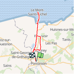

9.1 km | 10.4 km-effort


User


FREE GPS app for hiking
 SityTrail
IGN / Geographical institutes
SityTrail World
The world is yours!
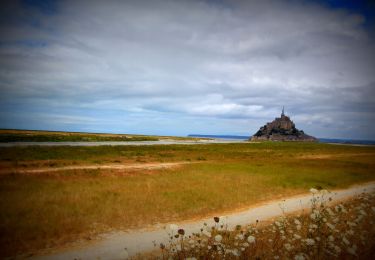
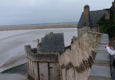
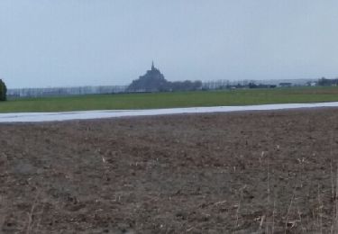
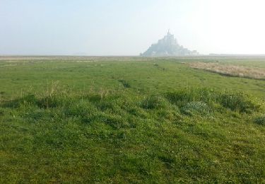
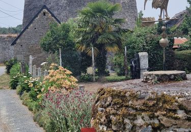
Trail Mountain bike of 20 km to be discovered at Normandy, Manche, Pontorson. This trail is proposed by tracegps.
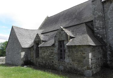
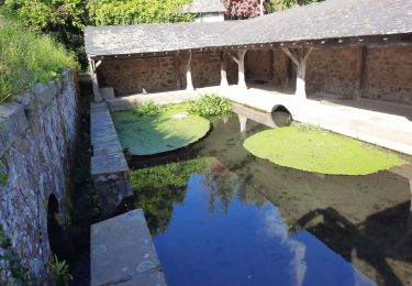
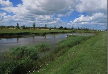
Balade agréable à faire en famille dans la campagne normande au départ d’un beau petit village au fil d’une rivière…


On foot
Mountain bike
Walking

Walking
Walking
Walking
Mountain bike
Walking