Trail Walking Pontorson - pontorson - Mont Saint Michel - Photo

pontorson - Mont Saint Michel

© OpenStreetMap contributors
Length
Length
11.4 km
Max alt
Max alt
35 m
Uphill gradient
Uphill gradient
75 m
Km-Effort
Km-Effort  
12.4 km
Min alt
Min alt
0 m
Downhill gradient
Downhill gradient
64 m
Boucle
Boucle
No
Creation date :
2017-03-05 00:00:00.0
Updated on :
2017-03-05 00:00:00.0

(0 Reviews)

Walking
Walking
2h24
Difficulty : Easy

Scan this QR Code to open this trail in the SityTrail application

FREE GPS app for hiking

Logo SityTrail SityTrail

IGN / Geographical institutes

Download SityTrail from the App Store Download SityTrail from Google Play

Logo SityTrail SityTrail World

The world is yours!

Download SityTrail from the App Store Download SityTrail from Google Play Download SityTrail on Huawei AppGallery

About

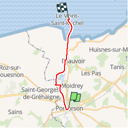
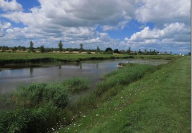
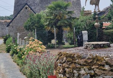
Trail Walking of 11.4 km to be discovered at Normandy, Manche, Pontorson. This trail is proposed by MoulinPierrick.

Description

Sentier roman Rennes  - Mont Saint Michel

Elevation profile

Photos

Positioning

Country:
France
Region :
Normandy
Department/Province :
Manche
Municipality :
Pontorson
Location:
Pontorson
Start:(UTM)
609904 ; 5379017 (30U) N.

Trails nearby

Trail On foot Saint-Georges-de-Gréhaigne - Circuit du Petit Bois & de la Grève - Photo
On foot
PRO

On foot

Easy
Saint-Georges-de-Gréhaigne, Brittany, Ille-et-Vilaine, France
9.1 km | 10.4 km-effort
2h 21min
Yes
Trail Mountain bike Beauvoir - SityTrail - 2506836 - beauvoir_20200724_092923 - Photo
Mountain bike
GUIDE
pascalou73

Mountain bike

Medium
Beauvoir, Normandy, Manche, France
29 km | 32 km-effort
Unknown
Yes
Trail Walking Pleine-Fougères - GR_37_AB_16_Pleine-Fougeres_Val-Couesnon_20210522 - Photo
Walking
patrickdanilo

Walking

Easy
Pleine-Fougères, Brittany, Ille-et-Vilaine, France
16.6 km | 19.4 km-effort
3h 45min
No
Trail Walking Pontorson - Les bords du Couesnon - Photo
Walking
cecillon

Walking

Very easy
Pontorson, Normandy, Manche, France
10 km | 10.6 km-effort
2h 7min
Yes
Trail Walking Pontorson - sentier roman pontorson - Mont Saint Michel - Photo
Walking
MoulinPierrick

Walking

Easy
Pontorson, Normandy, Manche, France
11.4 km | 12.4 km-effort
2h 44min
No
Trail Mountain bike Pontorson - De Pontorson à la chapelle Sainte-Anne - Photo
Mountain bike
tracegps

Mountain bike

Medium
Pontorson, Normandy, Manche, France
32 km | 33 km-effort
3h 0min
Yes
Trail Walking Pontorson - GR34 étape 6 - Photo
Walking
lagardienne

Walking

Easy
Pontorson, Normandy, Manche, France
23 km | 25 km-effort
5h 30min
No
Trail Mountain bike Pontorson - Randonnée de Pontorson au Mont Saint Michel - Photo
Mountain bike
tracegps

Mountain bike

Medium
Pontorson, Normandy, Manche, France
20 km | 22 km-effort
2h 30min
Yes
Trail Walking Pontorson - RA 2023 Les Polders - Photo
Walking
dfluzin

Walking

Very difficult
Pontorson, Normandy, Manche, France
18.1 km | 21 km-effort
5h 25min
No


Close
My subscriptions