


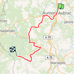

27 km | 34 km-effort


User


FREE GPS app for hiking
 SityTrail
IGN / Geographical institutes
SityTrail World
The world is yours!
Trail Mountain bike of 44 km to be discovered at Occitania, Lozère, Peyre en Aubrac. This trail is proposed by tracegps.
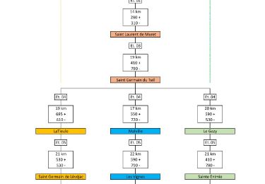
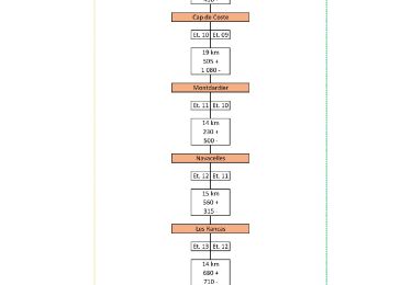
1ère étape du circuit des Tours des Monts d'Aubrac et de la Margeride.
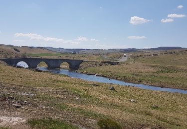
Walking

Walking
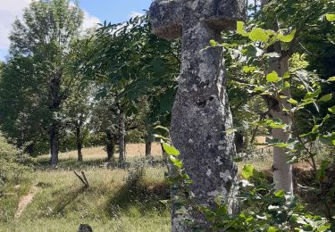
Walking
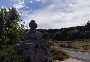
Walking
Walking

Walking
Walking

On foot