


6 km | 7.4 km-effort

User


FREE GPS app for hiking
 SityTrail
IGN / Geographical institutes
SityTrail World
The world is yours!
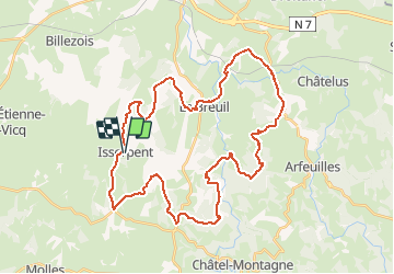
Trail Mountain bike of 42 km to be discovered at Auvergne-Rhône-Alpes, Allier, Isserpent. This trail is proposed by tracegps.
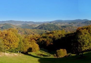
Parking et départ devant les panneaux des 3 circuits de randonnée à Isserpent(photo 2). Le parcours est assez bien rythmé par des portions roulantes et dégagées puis par des portions en sous bois qui se révèlent un peu plus techniques mais oh combien magnifiques. Il n'y a qu'un seul passage très difficile, après Maillant, où il faut pousser le VTT pour gravir une pente ravinée et caillouteuse. Si vous appréciez la verdure, le calme et la campagne, cette boucle est faite pour vous. Topoguides : La Montagne Bourbonnaise à pied (32 circuits) Carte de loisirs de plein air "Le pays de Lapalisse", une entrée en Auvergne (Carte IGN au 1:33 333 / 1 cm = 333 m)


Walking
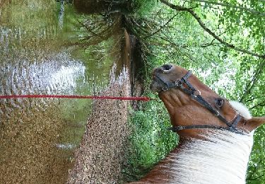
Equestrian
Walking

Walking
Walking
Super rando pas de difficultés dans les descentes. Les montées sont plus délicates (certaines a plus de 20% et caillouteuses). Peut être un passage dans une propriété ?????