


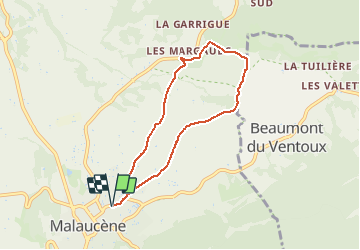

18.8 km | 25 km-effort


User


FREE GPS app for hiking
 SityTrail
IGN / Geographical institutes
SityTrail World
The world is yours!
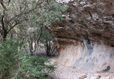
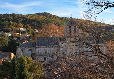
Trail Walking of 6.6 km to be discovered at Provence-Alpes-Côte d'Azur, Vaucluse, Malaucène. This trail is proposed by tracegps.
Balade au départ de Malaucène, d'après le topoguide "Pays du Ventoux", randonnée en boucle 5. Parcours très agréable parmi les arbres fruitiers (cerisiers, pêchers, abricotiers, poiriers, pruniers, etc) dans la campagne de Malaucène.
Walking
Walking
Walking

Walking

Walking

Running
Walking
Walking

Walking
Merci !