


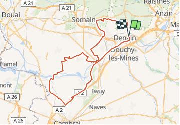

63 km | 70 km-effort


User


FREE GPS app for hiking
 SityTrail
IGN / Geographical institutes
SityTrail World
The world is yours!
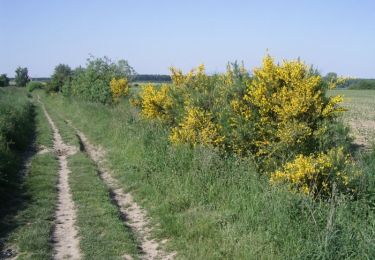
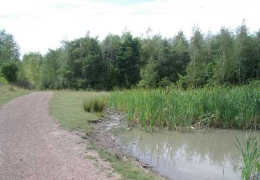
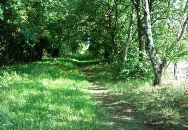
Trail Mountain bike of 66 km to be discovered at Hauts-de-France, Nord, Denain. This trail is proposed by tracegps.
Au départ de Denain, direction Bouchain en prenant le canal, puis Etreux en longeant l'A2 à travers champs, retour par Escaudain, sortie sans difficulté.

Mountain bike
Walking
Walking
Mountain bike
Mountain bike

Walking
Walking

Walking
Mountain bike