


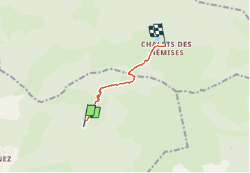

9.2 km | 22 km-effort


User


FREE GPS app for hiking
 SityTrail
IGN / Geographical institutes
SityTrail World
The world is yours!
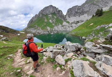
Trail Mountain bike of 2.9 km to be discovered at Auvergne-Rhône-Alpes, Upper Savoy, Bernex. This trail is proposed by tracegps.
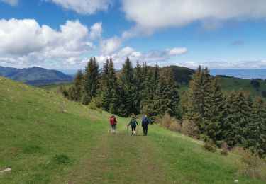
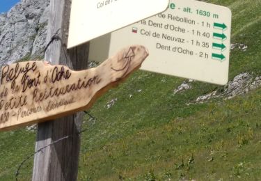
Ce circuit de liaison peut-être fait dans les 2 sens. Sens descente, facile. Sens montée, difficile, prévoir 40mn avec du portage.

Walking

Walking
Walking
Walking
Walking
Walking
Walking
Nordic walking
Walking