


12.2 km | 14.7 km-effort


User


FREE GPS app for hiking
 SityTrail
IGN / Geographical institutes
SityTrail World
The world is yours!
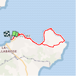
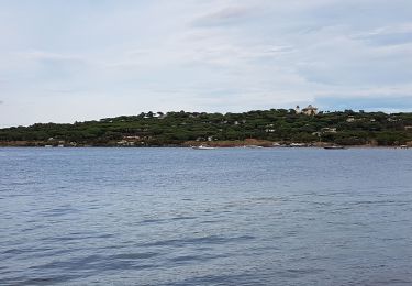
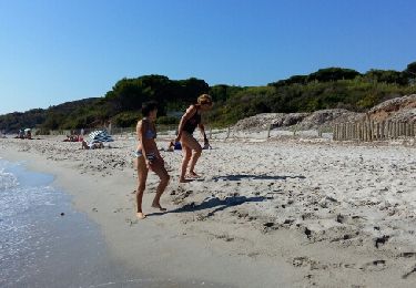
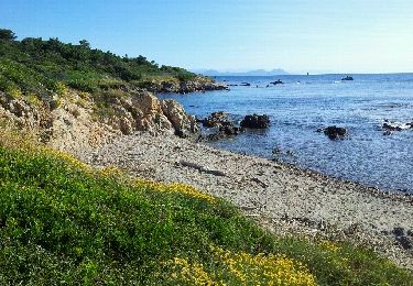
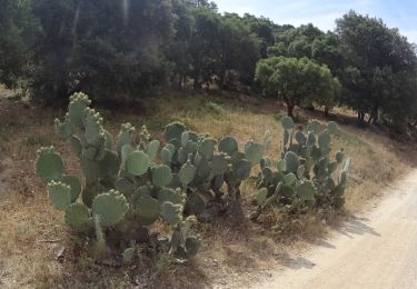
Trail Walking of 15.1 km to be discovered at Provence-Alpes-Côte d'Azur, Var, Saint-Tropez. This trail is proposed by tracegps.
Départ parking Port de St Tropez (Var). A l'Est, contourner le port et aller rejoindre le sentier du littoral, le suivre jusqu'à la Baie des Canebiers. A l'est, en direction du Cap de St Tropez, rejoindre le bord de mer. Revenir par le sentier des douaniers, en passant par la Pointe de la Robiou, et, avant l'arrivée au port de St Tropez, traverser la vieille ville.


Walking
Walking
Walking

Walking

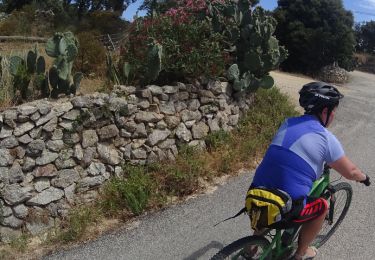
Mountain bike
Mountain bike
Mountain bike
Mountain bike
Mountain bike
Bien et facile
C'est une superbe balade, avec quelques variantes possibles. A faire hors saison, tout de même