


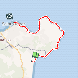

12.2 km | 14.7 km-effort

User


FREE GPS app for hiking
 SityTrail
IGN / Geographical institutes
SityTrail World
The world is yours!
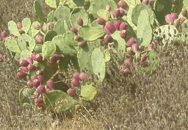
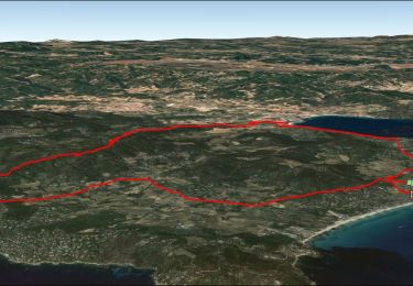
Trail Walking of 13.2 km to be discovered at Provence-Alpes-Côte d'Azur, Var, Ramatuelle. This trail is proposed by BLANCHET.
Très beau sentier bien balisé, bien entretenu.
La partie à partir de l'Estagnet est inintéressante, au milieu des maisons avec un chemin avec des voitures, poussiéreux.
Cette partie peut être évitée si c'est possible.
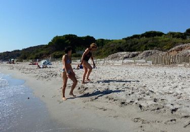
Attention aussi, j'ai rencontré sur une plage vers le cap de St Tropez deux femmes, blondes décolorées, plus toutes jeune, qui se faisaient bronzer... avec une meute d'au moins 6 chiens de toutes les races.
Les chiens ne m'ont pas agressé, les femmes non plus, mais j'ai été bien soulagé de quitter cette plage plutôt dangereuse!


Walking
Walking
Walking
Walking

Mountain bike
Walking
Mountain bike
Walking
Mountain bike
Très complet ergonomie pas évidente à maîtriser
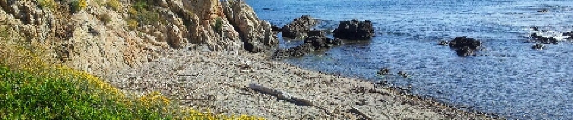
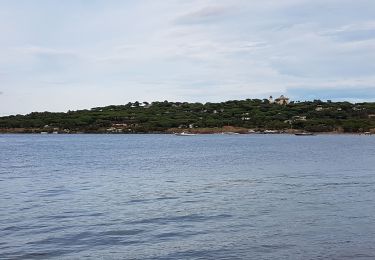
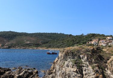
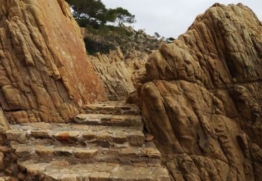
Agréable sur tout le parcours, nombreuses petites criques isolées, possibilité de pique niquer et de se baigner. Prévoir de quoi se ravitailler en eau, aucun point d'eau de ravitaillement. Terrain accidenté mais facile à parcourir. À voir absolument.