


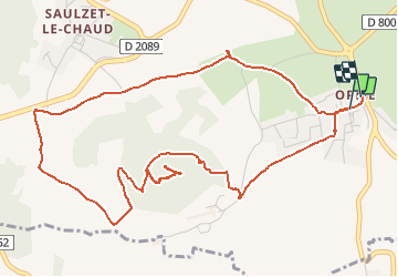


7.2 km | 9.3 km-effort

User


FREE GPS app for hiking
 SityTrail
IGN / Geographical institutes
SityTrail World
The world is yours!
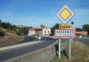
Trail Walking of 6.6 km to be discovered at Auvergne-Rhône-Alpes, Puy-de-Dôme, Romagnat. This trail is proposed by tracegps.
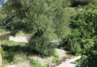
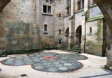
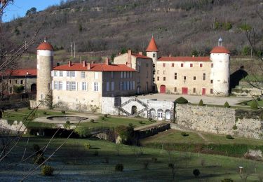
Un itinéraire très court, très près de la capitale Auvergnate et pourtant comme si on était à mille lieux de tout!! Un de ces parcours dont l'Auvergne a le secret. Regardez donc la planche contact et vous comprendrez ...

Walking
On foot
On foot
On foot
On foot
On foot
On foot
On foot
On foot
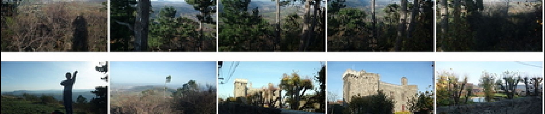
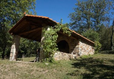
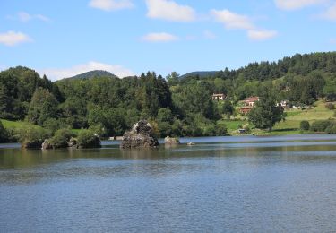
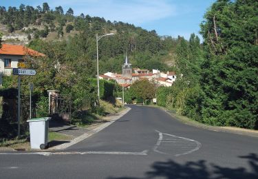
Parcours agréable et assez facile. Belles vue sur la chaîne des Puys et les Monts Dore ainsi que sur l'agglomération clermontoise.