


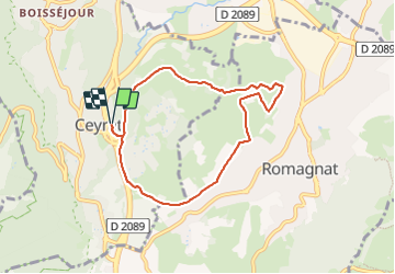


7.1 km | 10 km-effort

User GUIDE


FREE GPS app for hiking
 SityTrail
IGN / Geographical institutes
SityTrail World
The world is yours!
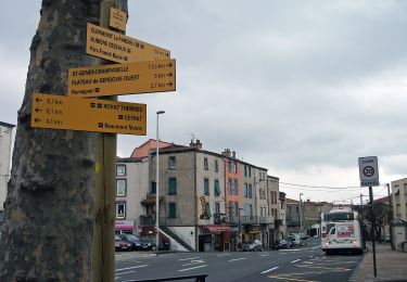
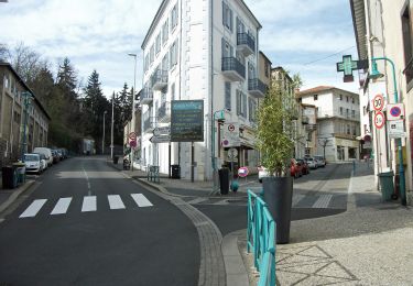
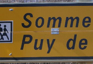
Trail Walking of 7.2 km to be discovered at Auvergne-Rhône-Alpes, Puy-de-Dôme, Ceyrat. This trail is proposed by jagarnier.
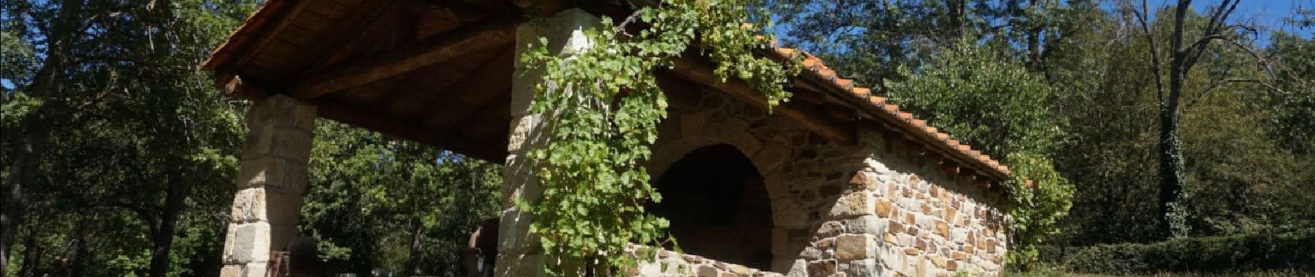
Au départ, découverte du Moulin de la Tranchère.
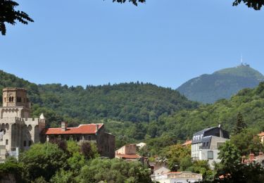
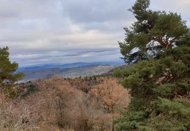
Tout au long de la randonnée, panoramas sur Clermont, Romagnat, Clémensat.

Walking
Walking
Walking

Walking
On foot
On foot
On foot
On foot
On foot