


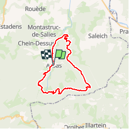

13.2 km | 23 km-effort

User


FREE GPS app for hiking
 SityTrail
IGN / Geographical institutes
SityTrail World
The world is yours!
Trail Mountain bike of 27 km to be discovered at Occitania, Haute-Garonne, Arbas. This trail is proposed by tracegps.
Circuit très physique, surtout en hiver, une belle montée infernale. Ensuite suivent une belle descente rapide et facile, une petite remontée puis la "pièce de choix" à savoir une grosse descente très (trop pour moi) technique au départ. Sur la fin ça s'arrange et on peut prendre pas mal de plaisir. Très très glissant en hiver, énormément de pierres mais si votre niveau technique le permet, ça doit être que du bonheur. Voir le circuit "Espace VTT FFC Pyrénées Comminges – n° 32 Le Tour du Haut Arbas".

Walking
Walking
Walking
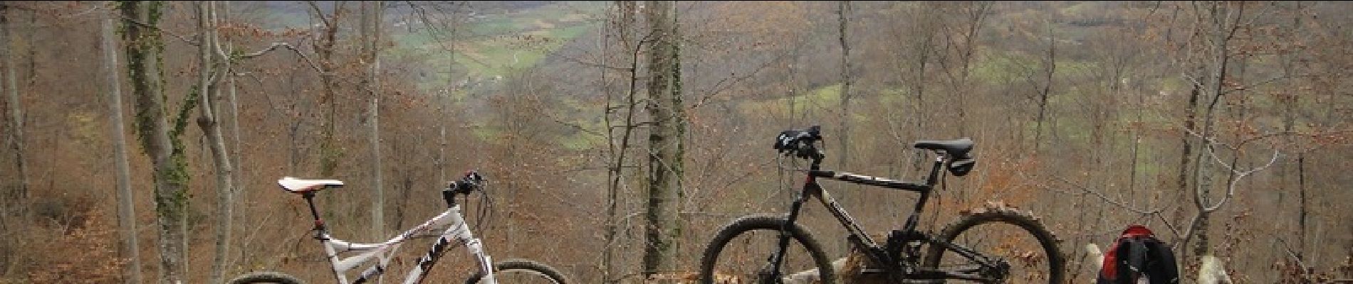
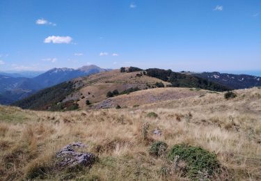
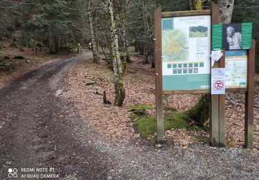
Mountain bike
Mountain bike

Mountain bike
Mountain bike

Mountain bike

Mountain bike