


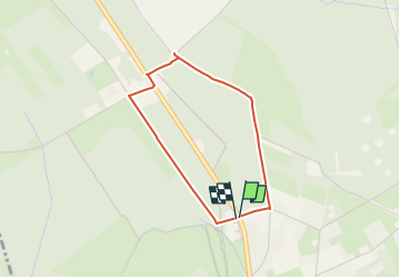

16.7 km | 22 km-effort

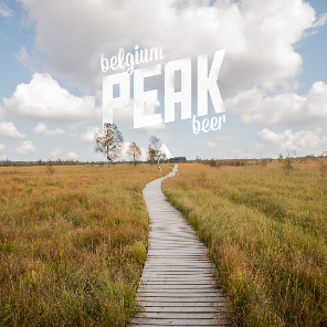
Nos balades autour de la brasserie n'attendent que vous! PRO


FREE GPS app for hiking
 SityTrail
IGN / Geographical institutes
SityTrail World
The world is yours!
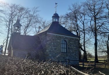
Trail Walking of 2.7 km to be discovered at Wallonia, Liège, Waimes. This trail is proposed by Peak Beer.
Petite balade accessible aux poussettes à la découverte de la Fagne Wallonne et du centre nature de Botrange.

Walking

Walking


Walking

Walking
Walking
Walking
Walking
très facile