


12.3 km | 26 km-effort

User


FREE GPS app for hiking
 SityTrail
IGN / Geographical institutes
SityTrail World
The world is yours!
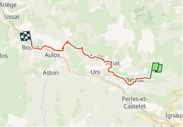
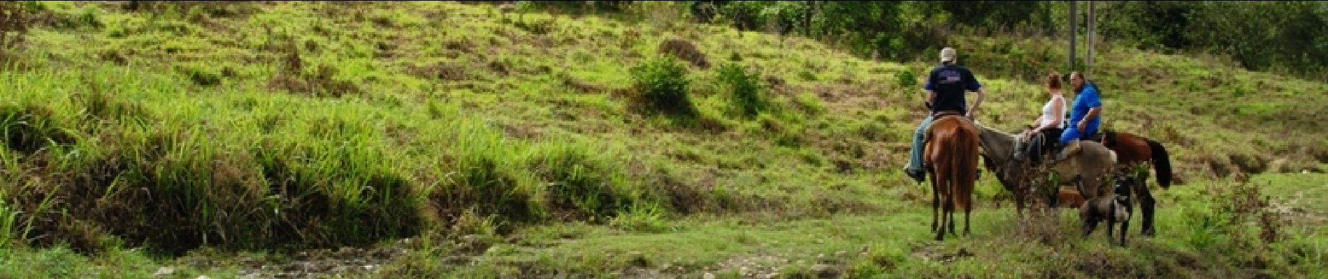
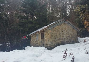
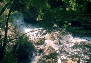
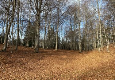
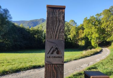
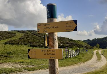
Trail Equestrian of 20 km to be discovered at Occitania, Ariège, Caussou. This trail is proposed by tracegps.
Deuxième étape de la boucle de Montségur. Balade proposée par le Bureau des Guides Équestres Transpyrénéens

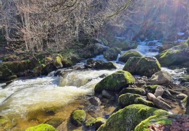
Walking
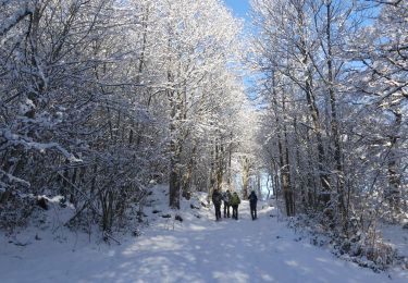
Walking
Walking
Walking
Walking
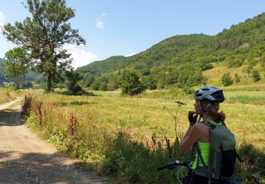
Mountain bike
Walking
Walking