Trail Walking Vadencourt - La rigole - Photo
 tracegps
tracegps

User

© OpenStreetMap contributors
Length
Length
8.3 km
Max alt
Max alt
116 m
Uphill gradient
Uphill gradient
111 m
Km-Effort
Km-Effort  
9.8 km
Min alt
Min alt
85 m
Downhill gradient
Downhill gradient
114 m
Boucle
Boucle
Yes
Creation date :
2014-12-10 00:00:00.0
Updated on :
2014-12-10 00:00:00.0

(0 Reviews)

Walking
Walking
2h15
Difficulty : Medium

Scan this QR Code to open this trail in the SityTrail application

FREE GPS app for hiking

Logo SityTrail SityTrail

IGN / Geographical institutes

Download SityTrail from the App Store Download SityTrail from Google Play

Logo SityTrail SityTrail World

The world is yours!

Download SityTrail from the App Store Download SityTrail from Google Play Download SityTrail on Huawei AppGallery

About

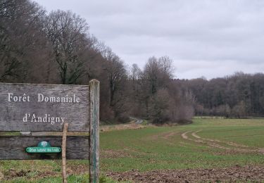
Trail Walking of 8.3 km to be discovered at Hauts-de-France, Aisne, Vadencourt. This trail is proposed by tracegps.

Description

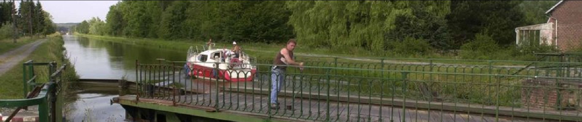
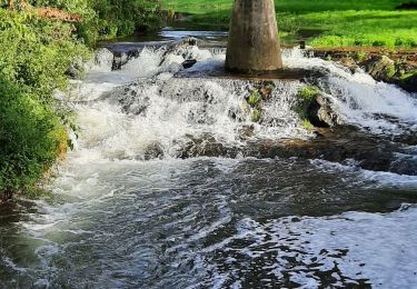
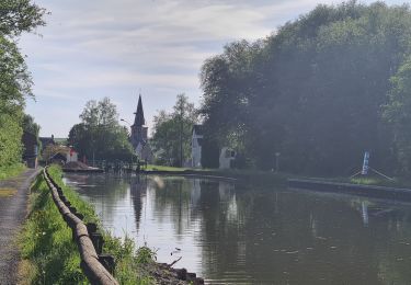
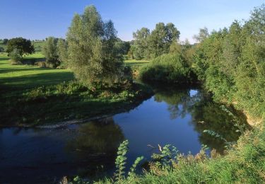
A Lesquielles-St-Germain, étagé à flanc de coteau, l'Oise se divise en deux bras. Sur l'un deux, la "Rigole de l'Oise", une prise d'eau, a été aménagée au XIXe siècle. Elle se prolonge par celle de "l'Oise et du Noirrieu" - à découvrir sur le circuit, sur Vadencourt, destinée à alimenter en eau le canal de Saint-Quentin, situé 20 km à l'ouest. Toutes les infos sont ICI

Elevation profile

Photos

Positioning

Country:
France
Region :
Hauts-de-France
Department/Province :
Aisne
Municipality :
Vadencourt
Location:
Unknown
Start:(UTM)
541452 ; 5530877 (31U) N.

Trails nearby

Trail Walking Seboncourt - forêt d'andigny - Photo
Walking
alainwald

Walking

Easy
Seboncourt, Hauts-de-France, Aisne, France
15.7 km | 18.4 km-effort
3h 47min
Yes
Trail Walking Proix - la valette par le nouveau circuit - Photo
Walking
alainwald

Walking

Easy
Proix, Hauts-de-France, Aisne, France
15.8 km | 18.5 km-effort
3h 49min
Yes
Trail Walking Guise - Guise - Photo
Walking
mjh

Walking

Easy
Guise, Hauts-de-France, Aisne, France
10.9 km | 12.7 km-effort
2h 41min
Yes
Trail Walking Vadencourt - circuit vadencourt-Vénerolle - Photo
Walking
alainwald

Walking

Easy
Vadencourt, Hauts-de-France, Aisne, France
18.1 km | 20 km-effort
3h 33min
Yes
Trail Walking Proix - tour 2 la valette - Photo
Walking
alainwald

Walking

Easy
Proix, Hauts-de-France, Aisne, France
15.3 km | 18.1 km-effort
4h 42min
Yes
Trail Walking Guise - Axe vert de Thiérache 1 - Photo
Walking
tracegps

Walking

Difficult
Guise, Hauts-de-France, Aisne, France
13.3 km | 15.2 km-effort
5h 0min
No
Trail Walking Guise - La Salette - Photo
Walking
tracegps

Walking

Very difficult
Guise, Hauts-de-France, Aisne, France
15.5 km | 18.3 km-effort
4h 15min
Yes
Trail Walking Guise - La Ferme-de-l'étang - Photo
Walking
tracegps

Walking

Very difficult
Guise, Hauts-de-France, Aisne, France
18.1 km | 21 km-effort
5h 30min
Yes
Trail Walking Proix - parcours la salette (proix) - Photo
Walking
alainwald

Walking

Easy
Proix, Hauts-de-France, Aisne, France
14.5 km | 17 km-effort
3h 39min
Yes


Close
My subscriptions