


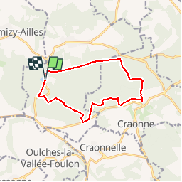


7.7 km | 9.2 km-effort

User


FREE GPS app for hiking
 SityTrail
IGN / Geographical institutes
SityTrail World
The world is yours!
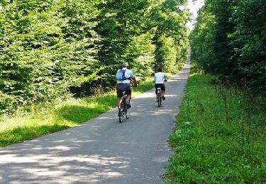
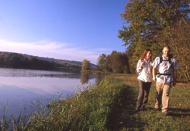
Trail Walking of 10.8 km to be discovered at Hauts-de-France, Aisne, Bouconville-Vauclair. This trail is proposed by tracegps.
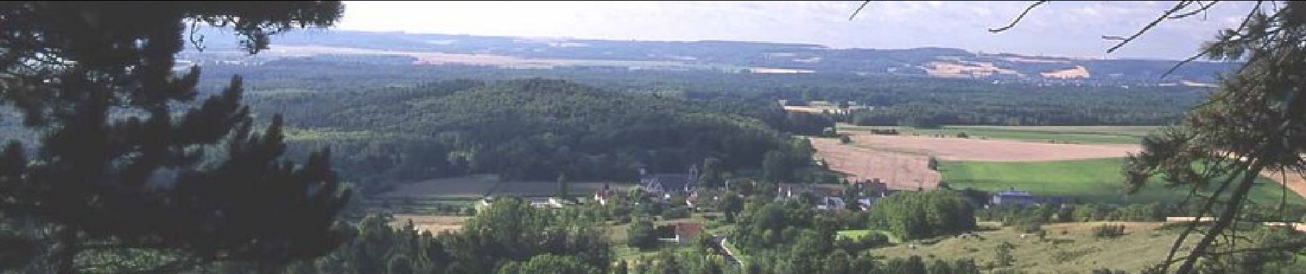
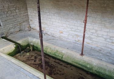
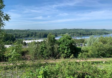
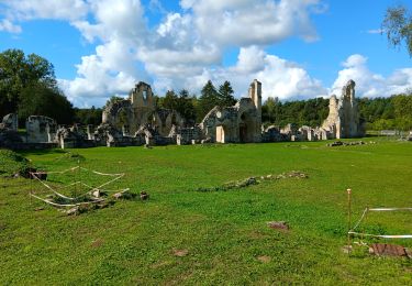
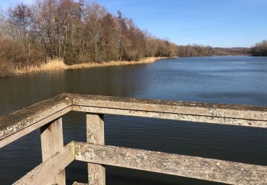
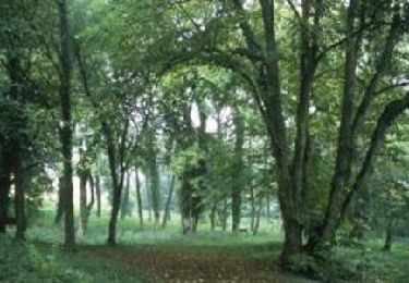
Une balade dans l'un des plus beaux secteurs boisés de l'Aisne, entre botanique et histoire, entre un jardin médicinal près d'une ancienne abbaye, un arboretum dans un village rasé et un verger conservatoire pour retrouver des pommiers disparus. Toutes les infos sont ICI


Walking
Walking
Walking
Walking
Walking
Walking
Mountain bike

Walking
Walking