


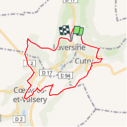

12.2 km | 16 km-effort

User


FREE GPS app for hiking
 SityTrail
IGN / Geographical institutes
SityTrail World
The world is yours!
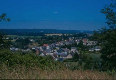
Trail Walking of 7.9 km to be discovered at Hauts-de-France, Aisne, Laversine. This trail is proposed by tracegps.
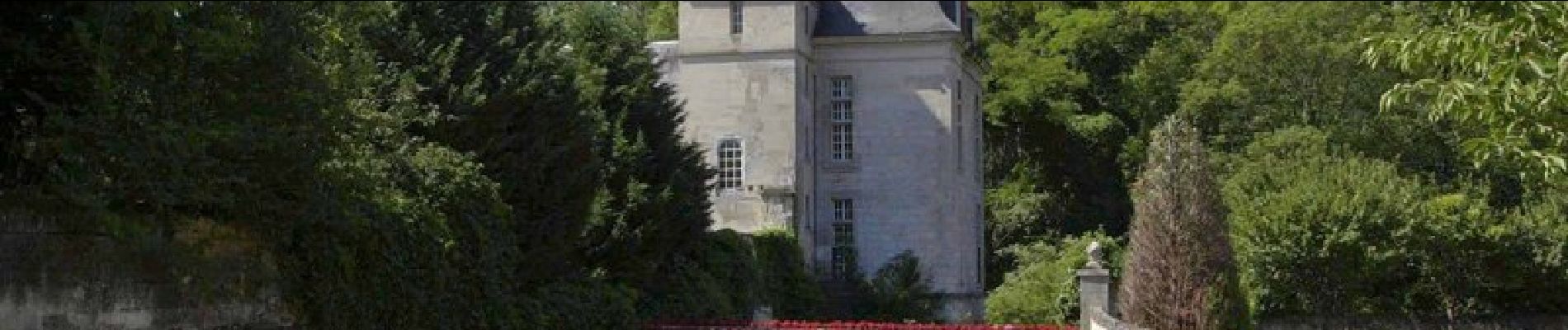
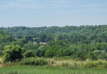
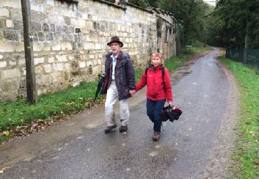
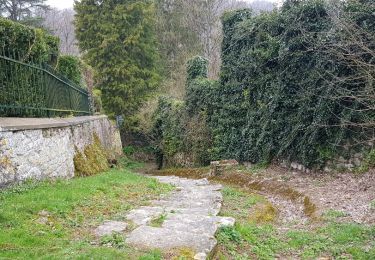
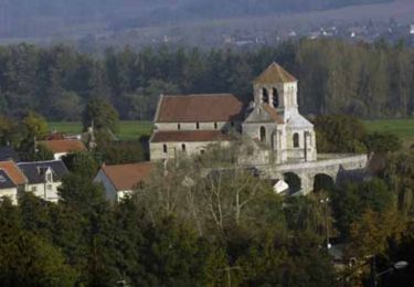
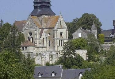
Comme son nom l'indique, Laversine (en latin Lapicidina) évoque les carrières de pierre de taille exploitées depuis l'époque romaine, et qui ont fait la prospérité du village. Situé dans le vallon bucolique du ru de Retz, l'ancien moulin, transformé au début du siècle en usine électrique, est actuellement aménagé en gîte. Une balade dans le duché de Gabrielle d'Estrées, qui a émergé à Coeuvres à la fin du XVIe siècle. Toutes les infos sont ICI


Walking
Walking
Walking
Walking
Walking

Walking
Walking

Mountain bike