


12.2 km | 14.2 km-effort


User


FREE GPS app for hiking
 SityTrail
IGN / Geographical institutes
SityTrail World
The world is yours!
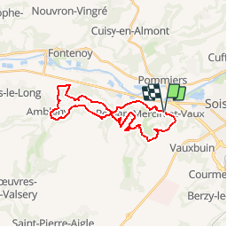
Trail Mountain bike of 24 km to be discovered at Hauts-de-France, Aisne, Mercin-et-Vaux. This trail is proposed by tracegps.
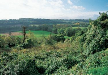
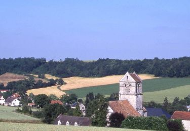
Ce circuit physique peut être parcouru par des vététistes en bonne condition, y compris par temps humide. La vallon encaissé du ru de Pernant, affluent de l'Aisne, est dominé par un beau château du XVe siècle. Sur ambleny, doté d'un solide donjon roman, plane la légende de saint Martin, qui aurait traversé le ru de Retz d'un bond de cheval. Toutes les infos sont ICI


Walking

Cycle
Walking

Walking
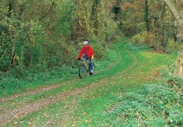
Mountain bike
Mountain bike
Walking

Walking
Walking