


10.8 km | 12 km-effort

User


FREE GPS app for hiking
 SityTrail
IGN / Geographical institutes
SityTrail World
The world is yours!
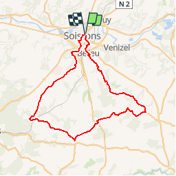
Trail Cycle of 58 km to be discovered at Hauts-de-France, Aisne, Soissons. This trail is proposed by tracegps.
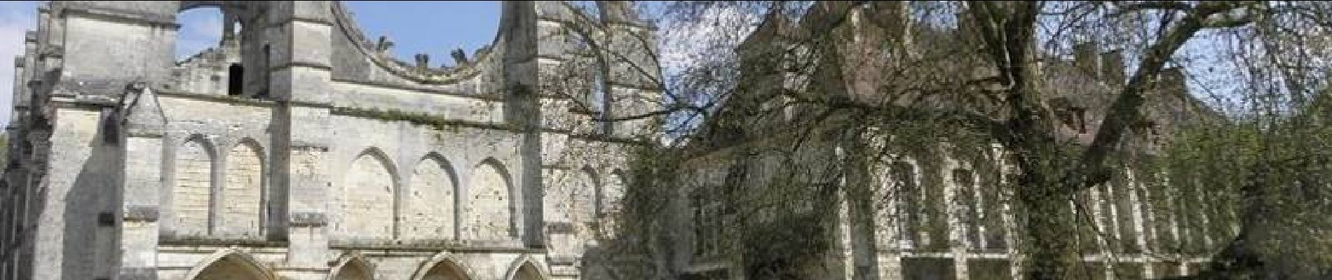
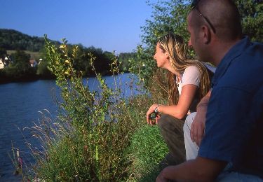
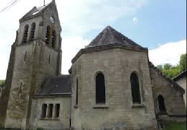
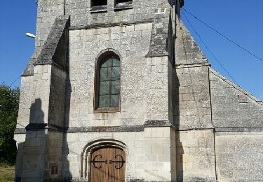
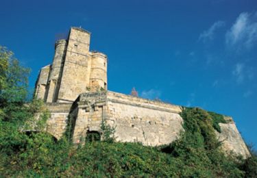
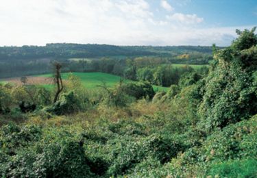
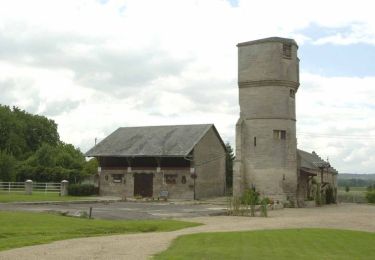
En route pour Septmonts et la vallée de la Crise, charmant affluent de l’Aisne. Cheminons ensuite par les doux vallons qui mènent à l’abbaye de Longpont. Départ du parking du Mail à Soissons. Retrouvez toutes les informations nécessaires ICI.


Walking
Walking
Walking
Walking

Walking
Mountain bike
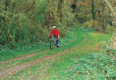
Mountain bike
Mountain bike
Walking