


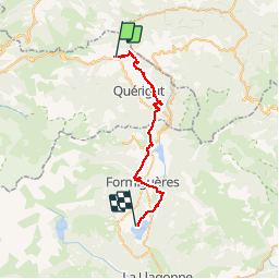

11.9 km | 24 km-effort

User


FREE GPS app for hiking
 SityTrail
IGN / Geographical institutes
SityTrail World
The world is yours!
Trail Equestrian of 32 km to be discovered at Occitania, Ariège, Rouze. This trail is proposed by tracegps.
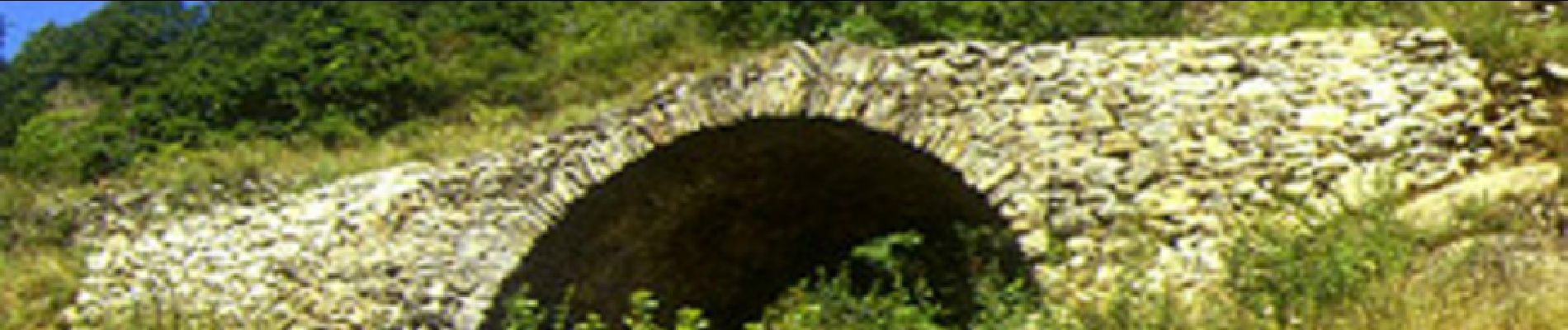
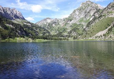
Reliez à cheval (ou à pied avec un âne de bât) l’Ariège aux Pyrénées Orientales, durant une randonnée itinérante de 4 jours sur les pas du Maréchal de Vauban, architecte et ingénieur miliaire, créateur des célèbres fortifications. Première étape. D’autres infos ICI. Balade proposée par le Bureau des Guides Équestres Transpyrénéens

Walking
Walking
Walking
Walking
Walking
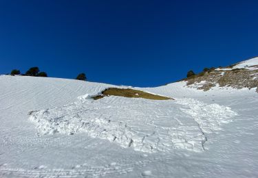
Snowshoes
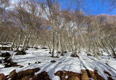
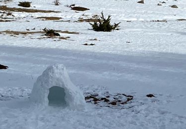
Snowshoes
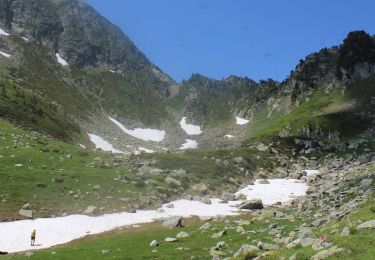
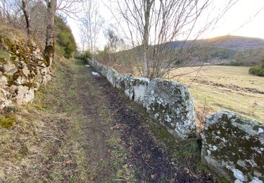
Walking
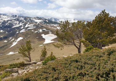
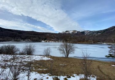
Walking