


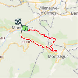

15.3 km | 31 km-effort


User


FREE GPS app for hiking
 SityTrail
IGN / Geographical institutes
SityTrail World
The world is yours!
Trail Walking of 11.7 km to be discovered at Occitania, Ariège, Montferrier. This trail is proposed by tracegps.
Une randonnée d'une douzaine de km de Montferrier par le sentier Cathare jusqu'au chateau de Montségur puis en boucle pour rejoindre Montferrier. D’autres informations et photos sont disponibles ICI Balade inspirée par le site « Les Balades et Randonnées de Fred »


Walking
Electric bike

Walking
Walking

Walking
Walking

Walking
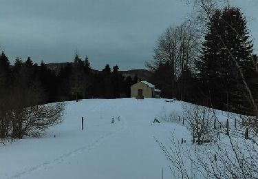
Snowshoes
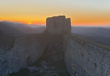
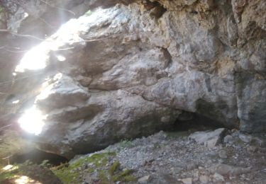
Beau château mais la descente depuis la balise 863 est un peu pénible car sans balisage.