


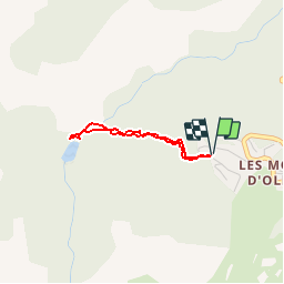

15.3 km | 31 km-effort

User


FREE GPS app for hiking
 SityTrail
IGN / Geographical institutes
SityTrail World
The world is yours!
Trail Walking of 2.2 km to be discovered at Occitania, Ariège, Montferrier. This trail is proposed by tracegps.
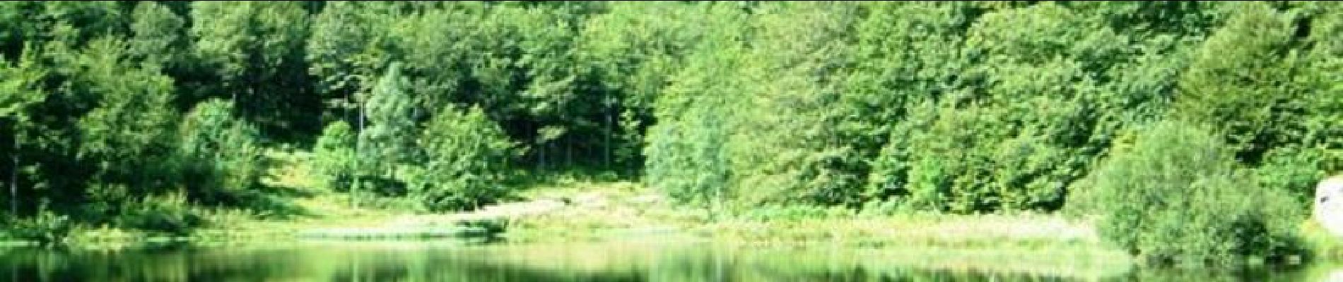
Si vous êtes en vacances aux Monts d'Olmes, un petit tour vers ce petit lac s'impose. Ne faites cependant pas 2 heures de route pour voir ce lac, il y en a de plus jolis plus près. D’autres informations et photos sont disponibles ICI Balade inspirée par le site « Les Balades et Randonnées de Fred »


Walking

Walking

Walking
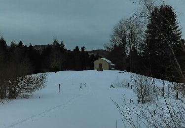
Snowshoes

Walking
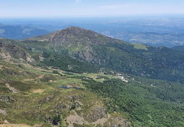
Walking
Walking
Walking
Walking